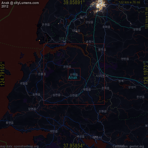
Anak night lights from space
Night Light of Anak (Hwanghae-bukto) from space (North Korea) Src. Average luminocity for 10x10km area is 0% and for 50x50km: 0.0597%.

Analysis of Anak night lights 2016
Square area 10x10 km:
 0%
0%90-99
0%80-89
0%70-79
0%60-69
0%50-59
0%40-49
0%30-39
0%20-29
0%10-19
0%0-9
100%Square area 50x50 km:
0%90-99
0.01%80-89
0.03%70-79
0.01%60-69
0%50-59
0%40-49
0%30-39
0%20-29
0%10-19
0.03%0-9
99.92%Clear (daylight) street map image can be seen on geolist.org.
Map coordinates:
39° 3' 32.1" North, 124° 47' 27.8" East
38° 30' 39" North, 125° 29' 39" East
37° 57' 30.7" North, 126° 11' 50.3" East
Some cities around Anak sort by population:
• Namp’o
26.3 km =16.3 mi,  343°
343°
• Sariwŏn
22.8 km =14.2 mi,  91°
91°
• Songnim
30.1 km =18.7 mi,  25°
25°
• Chaeryŏng-ŭp
16.3 km =10.1 mi,  139°
139°
• Hwangju-ŭp
30.2 km =18.8 mi,  54°
54°
• Hŭkkyo-ri
41.1 km =25.5 mi,  38°
38°
• Ayang-ni
38.8 km =24.1 mi, 140°
• Yonggang-ŭp
38.9 km =24.2 mi,  351°
351°
1879682 (p: 19,995)
Sources (retrieved 2019-11-25):
» Earth at Night: Flat Maps 2012, 2016