Sinmak night lights from space
Night Light of Sinmak (Hwanghae-bukto) from space (North Korea) Src. Average luminocity for 10x10km area is 0% and for 50x50km: 0%.
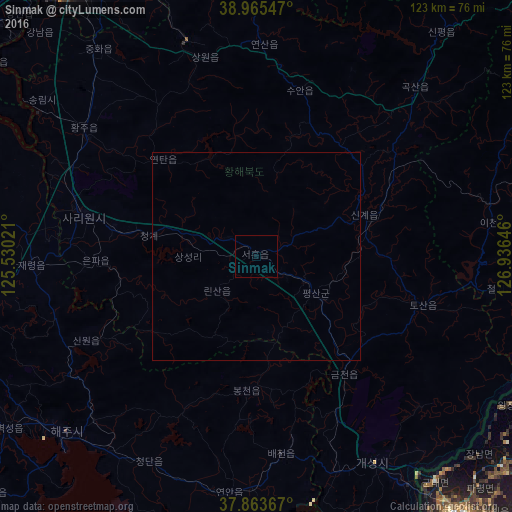
Analysis of Sinmak night lights 2016
Square area 10x10 km:
 0%
0%90-99
0%80-89
0%70-79
0%60-69
0%50-59
0%40-49
0%30-39
0%20-29
0%10-19
0%0-9
100%Square area 50x50 km:
0%90-99
0%80-89
0%70-79
0%60-69
0%50-59
0%40-49
0%30-39
0%20-29
0%10-19
0%0-9
100%Clear (daylight) street map image can be seen on geolist.org.
Map coordinates:
38° 57' 55.7" North, 125° 31' 48.8" East
38° 25' 0" North, 126° 13' 60" East
37° 51' 49.2" North, 126° 56' 11.3" East
Some cities around Sinmak sort by population:
• Kaesŏng
57 km =35.4 mi,  150°
150°
• Sariwŏn
42.8 km =26.6 mi,  283°
283°
• Chaeryŏng-ŭp
53.9 km =33.5 mi,  267°
267°
• Hwangju-ŭp
48.7 km =30.3 mi,  305°
305°
• Hŭkkyo-ri
57.2 km =35.5 mi,  317°
317°
• Yŏnan-ŭp
56.8 km =35.3 mi,  186°
186°
• Ayang-ni
44 km =27.3 mi,  243°
243°
• Koksan
55.4 km =34.4 mi,  42°
42°
1870434 (p: 18,669)
Sources (retrieved 2019-11-25):
» Earth at Night: Flat Maps 2012, 2016