Chaeryŏng-ŭp night lights from space
Night Light of Chaeryŏng-ŭp (Hwanghae-namdo) from space (North Korea) Src. Average luminocity for 10x10km area is 0% and for 50x50km: 0%.
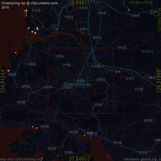
Analysis of Chaeryŏng-ŭp night lights 2016
Square area 10x10 km:
 0%
0%90-99
0%80-89
0%70-79
0%60-69
0%50-59
0%40-49
0%30-39
0%20-29
0%10-19
0%0-9
100%Square area 50x50 km:
0%90-99
0%80-89
0%70-79
0%60-69
0%50-59
0%40-49
0%30-39
0%20-29
0%10-19
0%0-9
100%Clear (daylight) street map image can be seen on geolist.org.
Map coordinates:
38° 56' 53.2" North, 124° 54' 44.8" East
38° 23' 57" North, 125° 36' 56" East
37° 50' 45.7" North, 126° 19' 7.3" East
Some cities around Chaeryŏng-ŭp sort by population:
• Namp’o
41.7 km =25.9 mi,  334°
334°
• Sariwŏn
17.1 km =10.6 mi,  45°
45°
• Haeju
40.8 km =25.4 mi,  167°
167°
• Songnim
39.6 km =24.6 mi,  3°
3°
• Hwangju-ŭp
33.2 km =20.6 mi,  24°
24°
• Anak
16.3 km =10.1 mi,  319°
319°
• Ayang-ni
22.5 km =14 mi,  140°
140°
• Pyŏksŏng-ŭp
39.4 km =24.5 mi,  187°
187°
1879487 (p: 53,330)
Sources (retrieved 2019-11-25):
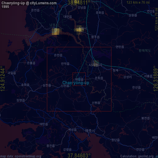
» NASA, Earths city lights 1995
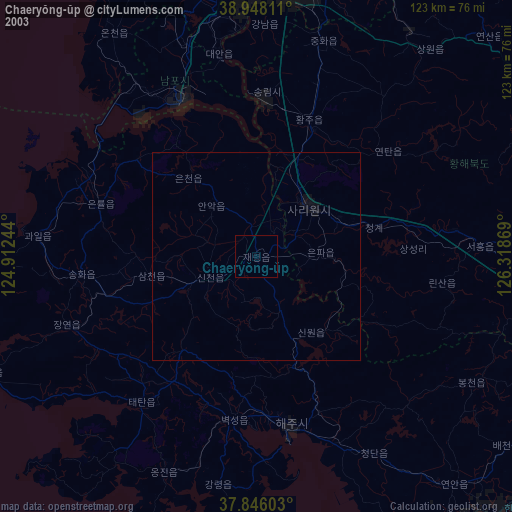
» NASA city lights 2003
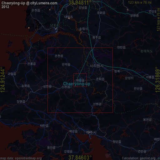
» Earth at Night: Flat Maps 2012, 2016