Samho-rodongjagu night lights from space
Night Light of Samho-rodongjagu (Hamgyŏng-namdo) from space (North Korea) Src. Average luminocity for 10x10km area is 0% and for 50x50km: 0.0695%.
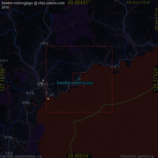
Analysis of Samho-rodongjagu night lights 2016
Square area 10x10 km:
 0%
0%90-99
0%80-89
0%70-79
0%60-69
0%50-59
0%40-49
0%30-39
0%20-29
0%10-19
0%0-9
100%Square area 50x50 km:
0%90-99
0%80-89
0.03%70-79
0.02%60-69
0%50-59
0%40-49
0%30-39
0.03%20-29
0.05%10-19
0%0-9
99.87%Clear (daylight) street map image can be seen on geolist.org.
Map coordinates:
40° 29' 3.9" North, 127° 10' 4.8" East
39° 56' 51" North, 127° 52' 16" East
39° 24' 22.8" North, 128° 34' 27.3" East
Some cities around Samho-rodongjagu sort by population:
• Hamhŭng
28.7 km =17.8 mi,  263°
263°
• Hŭngnam
25.1 km =15.6 mi,  239°
239°
• Yuktae-dong
26 km =16.2 mi,  70°
70°
• Hongwŏn
11.3 km =7 mi,  39°
39°
• Iwŏn-ŭp
78.7 km =48.9 mi,  57°
57°
• Yŏnggwang-ŭp
36.3 km =22.6 mi,  282°
282°
• Kowŏn-ŭp
78.1 km =48.5 mi,  223°
223°
• Sinsang-ni
51.7 km =32.1 mi,  230°
230°
1871484 (p: 19,025)
Sources (retrieved 2019-11-25):
» Earth at Night: Flat Maps 2012, 2016