Iwŏn-ŭp night lights from space
Night Light of Iwŏn-ŭp (Hamgyŏng-namdo) from space (North Korea) Src. Average luminocity for 10x10km area is 0% and for 50x50km: 0.0237%.

Analysis of Iwŏn-ŭp night lights 2016
Square area 10x10 km:
 0%
0%90-99
0%80-89
0%70-79
0%60-69
0%50-59
0%40-49
0%30-39
0%20-29
0%10-19
0%0-9
100%Square area 50x50 km:
0%90-99
0%80-89
0.03%70-79
0%60-69
0%50-59
0%40-49
0%30-39
0%20-29
0%10-19
0%0-9
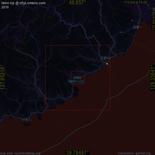
99.97%Clear (daylight) street map image can be seen on geolist.org.
Map coordinates:
40° 51' 25.2" North, 127° 57' 7.8" East
40° 19' 23" North, 128° 39' 19" East
39° 47' 5.5" North, 129° 21' 30.3" East
Some cities around Iwŏn-ŭp sort by population:
• Hamhŭng
105.2 km =65.4 mi,  244°
244°
• Hŭngnam
103.8 km =64.5 mi, 238°
• Yuktae-dong
53.6 km =33.3 mi,  231°
231°
• Hongwŏn
68 km =42.3 mi, 240°
• Kilju
91.1 km =56.6 mi,  38°
38°
• Kapsan-ŭp
90.6 km =56.3 mi,  340°
340°
• Samho-rodongjagu
78.7 km =48.9 mi, 237°
• Sŭngjibaegam
103 km =64 mi,  6°
6°
2043677 (p: 26,364)
Sources (retrieved 2019-11-25):
» Earth at Night: Flat Maps 2012, 2016