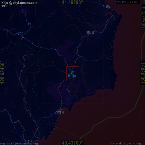
Kilju night lights from space
Night Light of Kilju (Hamgyŏng-bukto) from space (North Korea) Src. Average luminocity for 10x10km area is 0% and for 50x50km: 0%.
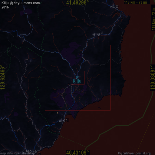
Analysis of Kilju night lights 2016
Square area 10x10 km:
 0%
0%90-99
0%80-89
0%70-79
0%60-69
0%50-59
0%40-49
0%30-39
0%20-29
0%10-19
0%0-9
100%Square area 50x50 km:
0%90-99
0%80-89
0%70-79
0%60-69
0%50-59
0%40-49
0%30-39
0%20-29
0%10-19
0%0-9
100%Clear (daylight) street map image can be seen on geolist.org.
Map coordinates:
41° 29' 34.7" North, 128° 37' 28.8" East
40° 57' 51" North, 129° 19' 40" East
40° 25' 51.9" North, 130° 1' 51.3" East
Some cities around Kilju sort by population:
• Kyŏngsŏng
73.1 km =45.4 mi,  18°
18°
• Nanam
88.5 km =55 mi, 19°
• Iwŏn-ŭp
91.1 km =56.6 mi,  218°
218°
• Kapsan-ŭp
87.9 km =54.6 mi,  279°
279°
• Hau-ri
28.9 km =18 mi, 24°
• Sŭngjibaegam
54.1 km =33.6 mi,  304°
304°
• Hoemul-li
59.6 km =37 mi,  28°
28°
• Sŭngam-nodongjagu
83.5 km =51.9 mi, 19°
2043484 (p: 63,652)
Sources (retrieved 2019-11-25):
» NASA, Earths city lights 1995
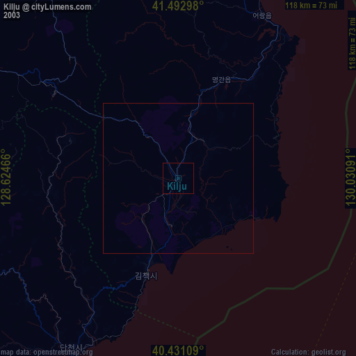
» NASA city lights 2003
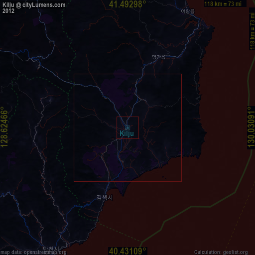
» Earth at Night: Flat Maps 2012, 2016