Witu night lights from space
Night Light of Witu (Lamu) from space (Kenya) Src. Average luminocity for 10x10km area is 0% and for 50x50km: 0%.
Analysis of Witu night lights 2016
Square area 10x10 km:
100  0%
0%
90-99 0%
80-89 0%
70-79 0%
60-69 0%
50-59 0%
40-49 0%
30-39 0%
20-29 0%
10-19 0%
0-9 100%
0%90-99
0%80-89
0%70-79
0%60-69
0%50-59
0%40-49
0%30-39
0%20-29
0%10-19
0%0-9
100%Square area 50x50 km:
100 0%
90-99 0%
80-89 0%
70-79 0%
60-69 0%
50-59 0%
40-49 0%
30-39 0%
20-29 0%
10-19 0%
0-9 100%
0%90-99
0%80-89
0%70-79
0%60-69
0%50-59
0%40-49
0%30-39
0%20-29
0%10-19
0%0-9
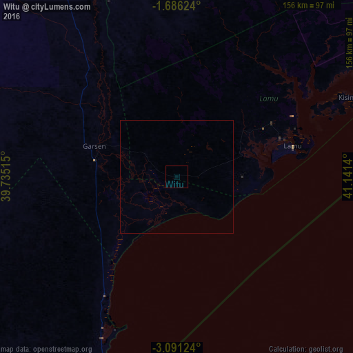
100%Clear (daylight) street map image can be seen on geolist.org.
Map coordinates:
1° 41' 10.5" South, 39° 44' 6.5" East
2° 23' 20.1" South, 40° 26' 17.8" East
3° 5' 28.5" South, 41° 8' 29" East
Some cities around Witu sort by population:
• Mombasa
204.2 km =126.9 mi,  204°
204°
• Malindi
98.9 km =61.5 mi, 201°
• Kilifi
152.7 km =94.9 mi,  205°
205°
• Lamu
53.1 km =33 mi,  75°
75°
• Mariakani
195.7 km =121.6 mi, 213°
• Takaungu
157.8 km =98.1 mi, 204°
• Hola
110.4 km =68.6 mi,  335°
335°
• Kwale
226.6 km =140.8 mi, 208°
178093 (p: 5,380)
Sources (retrieved 2019-11-25):
» Earth at Night: Flat Maps 2012, 2016