Homa Bay night lights from space
Night Light of Homa Bay from space (Kenya) Src. Average luminocity for 10x10km area is 1.539% and for 50x50km: 0.0771%.
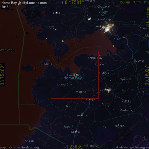
Analysis of Homa Bay night lights 2016
Square area 10x10 km:
100  0%
0%
90-99 0%
80-89 0%
70-79 0%
60-69 0%
50-59 0%
40-49 0.65%
30-39 2.16%
20-29 0.65%
10-19 0.87%
0-9 95.67%
0%90-99
0%80-89
0%70-79
0%60-69
0%50-59
0%40-49
0.65%30-39
2.16%20-29
0.65%10-19
0.87%0-9
95.67%Square area 50x50 km:
100 0%
90-99 0%
80-89 0%
70-79 0%
60-69 0%
50-59 0%
40-49 0.04%
30-39 0.09%
20-29 0.04%
10-19 0.03%
0-9 99.79%
0%90-99
0%80-89
0%70-79
0%60-69
0%50-59
0%40-49
0.04%30-39
0.09%20-29
0.04%10-19
0.03%0-9
99.79%Clear (daylight) street map image can be seen on geolist.org.
Map coordinates:
0° 10' 32.9" North, 33° 45' 14.5" East
0° 31' 38.3" South, 34° 27' 25.7" East
1° 13' 49.3" South, 35° 9' 37" East
Some cities around Homa Bay sort by population:
• Kisumu
58.1 km =36.1 mi,  35°
35°
• Migori
59.6 km =37 mi,  178°
178°
• Kisii
38.5 km =23.9 mi,  116°
116°
• Siaya
68 km =42.3 mi,  343°
343°
• Oyugis
30.5 km =19 mi,  86°
86°
• Nyamira
53.4 km =33.2 mi, 94°
• Ahero
64.7 km =40.2 mi,  52°
52°
• Mbale
73.9 km =45.9 mi,  23°
23°
196742 (p: 40,319)
Sources (retrieved 2019-11-25):
» Earth at Night: Flat Maps 2012, 2016