Minakuchichō-matoba night lights from space
Night Light of Minakuchichō-matoba (Shiga) from space (Japan) Src. Average luminocity for 10x10km area is 32.7308% and for 50x50km: 17.5899%.
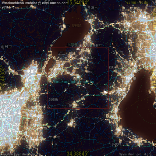
Analysis of Minakuchichō-matoba night lights 2016
Square area 10x10 km:
 1.47%
1.47%90-99
4.03%80-89
5.49%70-79
3.85%60-69
4.76%50-59
4.58%40-49
6.41%30-39
8.06%20-29
12.64%10-19
36.26%0-9
12.45%Square area 50x50 km:
1.01%90-99
1.56%80-89
3.23%70-79
2.51%60-69
2.3%50-59
2.78%40-49
3.27%30-39
4.09%20-29
8.41%10-19
11.29%0-9
59.56%Clear (daylight) street map image can be seen on geolist.org.
Map coordinates:
35° 32' 27" North, 135° 27' 48.8" East
34° 58' 0" North, 136° 10' 0" East
34° 23' 18.4" North, 136° 52' 11.3" East
Some cities around Minakuchichō-matoba sort by population:
• Ōtsu
27.6 km =17.1 mi,  277°
277°
• Kusatsu
19 km =11.8 mi,  286°
286°
• Ōmihachiman
19.1 km =11.9 mi,  340°
340°
• Moriyama
20.1 km =12.5 mi,  303°
303°
• Ueno-ebisumachi
23.4 km =14.5 mi,  187°
187°
• Youkaichi
16.9 km =10.5 mi,  9°
9°
• Kameyama
28.9 km =18 mi,  116°
116°
• Hino
8.4 km =5.2 mi,  63°
63°
1857209 (p: 38,986)
Sources (retrieved 2019-11-25):
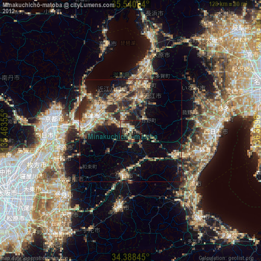
» Earth at Night: Flat Maps 2012, 2016