Hino night lights from space
Night Light of Hino (Shiga) from space (Japan) Src. Average luminocity for 10x10km area is 10.2098% and for 50x50km: 16.6403%.
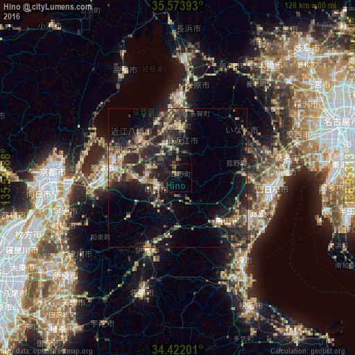
Analysis of Hino night lights 2016
Square area 10x10 km:
 0%
0%90-99
0%80-89
0.52%70-79
1.05%60-69
1.92%50-59
1.57%40-49
2.62%30-39
1.4%20-29
4.37%10-19
16.61%0-9
69.93%Square area 50x50 km:
0.64%90-99
1.14%80-89
2.73%70-79
2.22%60-69
2.28%50-59
2.61%40-49
3.91%30-39
4.57%20-29
8.54%10-19
11.59%0-9
59.77%Clear (daylight) street map image can be seen on geolist.org.
Map coordinates:
35° 34' 26.1" North, 135° 32' 48.8" East
35° 0' 0" North, 136° 15' 0" East
34° 25' 19.2" North, 136° 57' 11.3" East
Some cities around Hino sort by population:
• Kusatsu
25.9 km =16.1 mi,  274°
274°
• Hikone
27.8 km =17.3 mi,  0°
0°
• Ōmihachiman
19.9 km =12.4 mi,  315°
315°
• Moriyama
25.4 km =15.8 mi,  286°
286°
• Youkaichi
13.8 km =8.6 mi,  339°
339°
• Komono
24.3 km =15.1 mi,  90°
90°
• Kameyama
24.7 km =15.3 mi,  132°
132°
• Minakuchichō-matoba
8.4 km =5.2 mi,  243°
243°
1862601 (p: 22,767)
Sources (retrieved 2019-11-25):
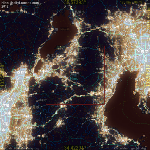
» Earth at Night: Flat Maps 2012, 2016