Tomigusuku night lights from space
Night Light of Tomigusuku (Okinawa) from space (Japan) Src. Average luminocity for 10x10km area is 78.5496% and for 50x50km: 17.4269%.
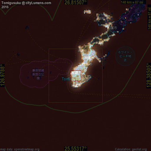
Analysis of Tomigusuku night lights 2016
Square area 10x10 km:
 22.82%
90-99
22.22%80-89
11.9%70-79
11.11%60-69
14.88%50-59
5.56%40-49
1.39%30-39
0.99%20-29
9.13%10-19
0%0-9
0%Square area 50x50 km:
3.97%90-99
3.89%80-89
1.53%70-79
2.18%60-69
3.01%50-59
2.34%40-49
1.26%30-39
1.71%20-29
4.11%10-19
6.57%0-9
69.42%Clear (daylight) street map image can be seen on geolist.org.
Map coordinates:
26° 48' 54.3" North, 126° 58' 43.7" East
26° 11' 9" North, 127° 40' 54.9" East
25° 33' 11.4" North, 128° 23' 6.2" East
Some cities around Tomigusuku sort by population:
• Naha
3.4 km =2.1 mi,  2°
2°
• Okinawa
20.5 km =12.7 mi,  35°
35°
• Ginowan
11.7 km =7.3 mi, 42°
• Gushikawa
26.7 km =16.6 mi, 43°
• Itoman
6.7 km =4.2 mi,  190°
190°
• Katsuren-haebaru
25.2 km =15.7 mi,  49°
49°
• Chatan
16.3 km =10.1 mi,  32°
32°
• Ishikawa
29.8 km =18.5 mi, 27°
1850108 (p: 55,715)
Sources (retrieved 2019-11-25):
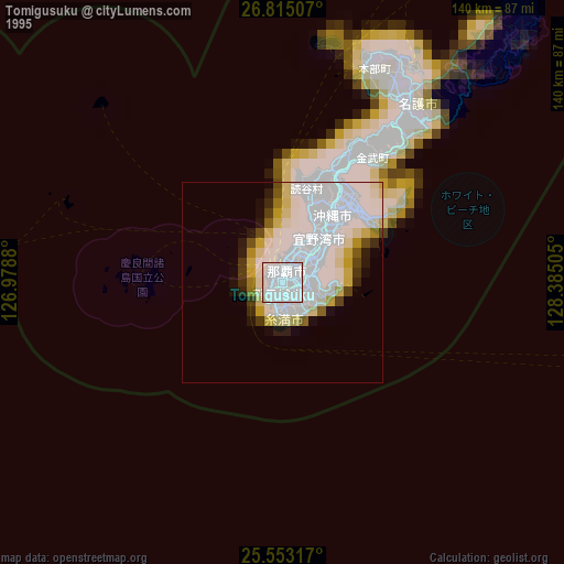
» NASA, Earths city lights 1995
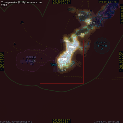
» NASA city lights 2003
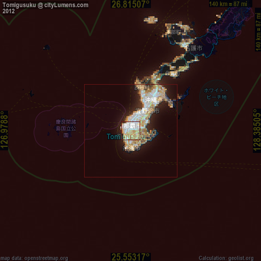
» Earth at Night: Flat Maps 2012, 2016