Rumoi night lights from space
Night Light of Rumoi (Hokkaido) from space (Japan) Src. Average luminocity for 10x10km area is 7.5254% and for 50x50km: 0.7321%.
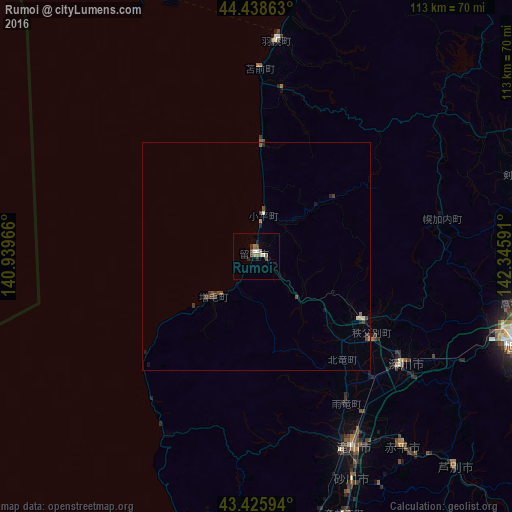
Analysis of Rumoi night lights 2016
Square area 10x10 km:
 0.32%
0.32%90-99
1.59%80-89
0%70-79
0.95%60-69
1.59%50-59
2.54%40-49
0.63%30-39
1.27%20-29
1.11%10-19
1.43%0-9
88.57%Square area 50x50 km:
0.04%90-99
0.11%80-89
0.02%70-79
0.07%60-69
0.06%50-59
0.21%40-49
0.21%30-39
0.23%20-29
0.17%10-19
0.16%0-9
98.7%Clear (daylight) street map image can be seen on geolist.org.
Map coordinates:
44° 26' 19.1" North, 140° 56' 22.8" East
43° 56' 4" North, 141° 38' 34" East
43° 25' 33.4" North, 142° 20' 45.3" East
Some cities around Rumoi sort by population:
• Asahikawa
60.7 km =37.7 mi,  107°
107°
• Takikawa
47.4 km =29.5 mi,  153°
153°
• Bibai
70 km =43.5 mi,  165°
165°
• Fukagawa
40.6 km =25.2 mi,  128°
128°
• Sunagawa
54.1 km =33.6 mi,  157°
157°
• Ashibetsu
64.3 km =40 mi,  137°
137°
• Akabira
53.9 km =33.5 mi, 142°
• Utashinai
56.8 km =35.3 mi, 144°
2128382 (p: 26,454)
Sources (retrieved 2019-11-25):
» Earth at Night: Flat Maps 2012, 2016