Otaru night lights from space
Night Light of Otaru (Hokkaido) from space (Japan) Src. Average luminocity for 10x10km area is 31.1576% and for 50x50km: 7.7442%.
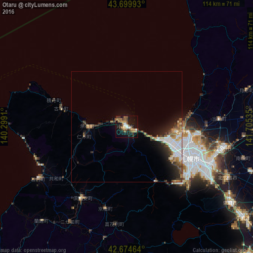
Analysis of Otaru night lights 2016
Square area 10x10 km:
 2.42%
2.42%90-99
3.03%80-89
2.88%70-79
6.52%60-69
6.52%50-59
7.12%40-49
3.03%30-39
5.91%20-29
4.24%10-19
33.94%0-9
24.39%Square area 50x50 km:
1.39%90-99
1.44%80-89
0.59%70-79
1.05%60-69
1.01%50-59
1.14%40-49
0.89%30-39
1.14%20-29
1.96%10-19
4.42%0-9
84.98%Clear (daylight) street map image can be seen on geolist.org.
Map coordinates:
43° 41' 59.7" North, 140° 17' 56.8" East
43° 11' 22" North, 141° 0' 8" East
42° 40' 28.7" North, 141° 42' 19.3" East
Some cities around Otaru sort by population:
• Sapporo
31.4 km =19.5 mi,  115°
115°
• Ebetsu
45.4 km =28.2 mi,  101°
101°
• Iwamizawa
61.4 km =38.2 mi,  88°
88°
• Kitahiroshima
51.7 km =32.1 mi, 117°
• Ishikari
29 km =18 mi,  78°
78°
• Yoichi
18.9 km =11.7 mi,  274°
274°
• Tōbetsu
41.8 km =26 mi, 85°
• Iwanai
46.7 km =29 mi,  239°
239°
2128574 (p: 143,792)
Sources (retrieved 2019-11-25):
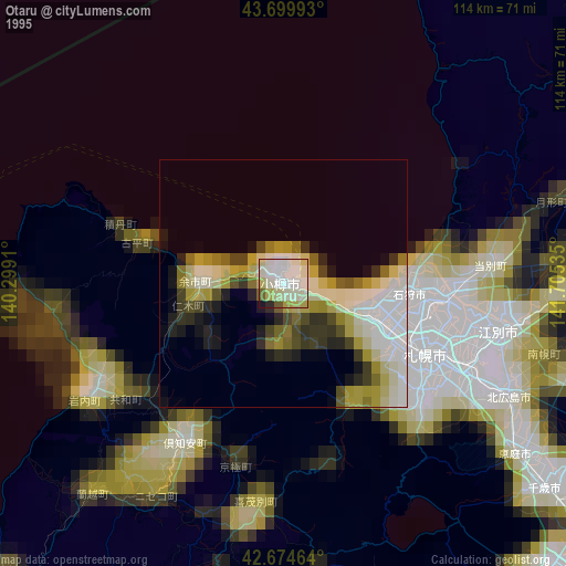
» NASA, Earths city lights 1995
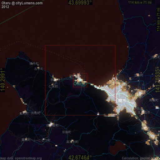
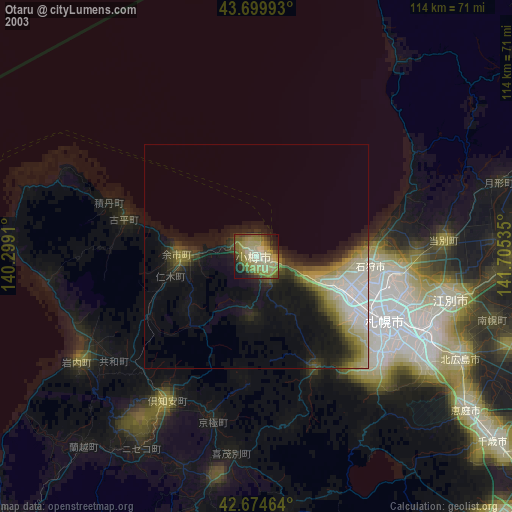
» NASA city lights 2003
» Earth at Night: Flat Maps 2012, 2016