Ebetsu night lights from space
Night Light of Ebetsu (Hokkaido) from space (Japan) Src. Average luminocity for 10x10km area is 40.4879% and for 50x50km: 23.8096%.
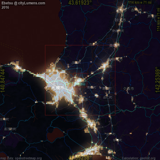

Analysis of Ebetsu night lights 2016
Square area 10x10 km:
 6.36%
6.36%90-99
9.7%80-89
2.88%70-79
4.24%60-69
3.18%50-59
7.88%40-49
7.12%30-39
8.79%20-29
8.18%10-19
25.45%0-9
16.21%Square area 50x50 km:
7.09%90-99
4.59%80-89
1.68%70-79
2.4%60-69
2.5%50-59
2.83%40-49
3.14%30-39
3.27%20-29
4.49%10-19
9.47%0-9
58.56%Clear (daylight) street map image can be seen on geolist.org.
Map coordinates:
43° 37' 9.2" North, 140° 50' 50.8" East
43° 6' 29" North, 141° 33' 2" East
42° 35' 33.3" North, 142° 15' 13.3" East
Some cities around Ebetsu sort by population:
• Sapporo
16.9 km =10.5 mi,  254°
254°
• Otaru
45.4 km =28.2 mi,  281°
281°
• Chitose
33.1 km =20.6 mi,  165°
165°
• Iwamizawa
19.8 km =12.3 mi,  58°
58°
• Kitahiroshima
14.8 km =9.2 mi, 174°
• Ishikari
21.6 km =13.4 mi,  312°
312°
• Bibai
34.7 km =21.6 mi,  46°
46°
• Tōbetsu
12.4 km =7.7 mi,  347°
347°
2130404 (p: 133,953)
Sources (retrieved 2019-11-25):
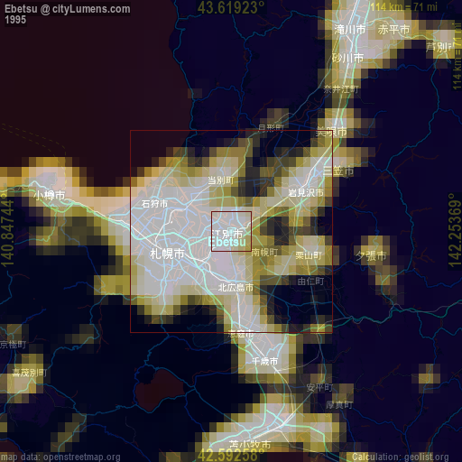
» NASA, Earths city lights 1995
» NASA city lights 2003
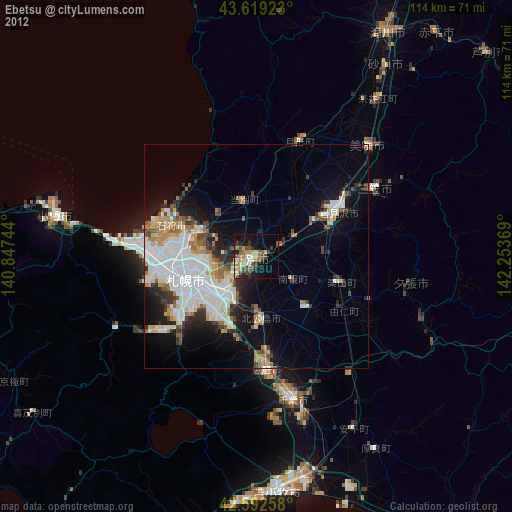
» Earth at Night: Flat Maps 2012, 2016