Onoda night lights from space
Night Light of Onoda (Yamaguchi) from space (Japan) Src. Average luminocity for 10x10km area is 32.6853% and for 50x50km: 11.4088%.

Analysis of Onoda night lights 2016
Square area 10x10 km:
 0.52%
0.52%90-99
2.62%80-89
7.87%70-79
2.27%60-69
7.17%50-59
10.66%40-49
3.32%30-39
6.64%20-29
6.99%10-19
31.99%0-9
19.93%Square area 50x50 km:
0.67%90-99
1.13%80-89
1.89%70-79
1.22%60-69
2.2%50-59
2.76%40-49
1.55%30-39
2.18%20-29
3.18%10-19
8.03%0-9
75.19%Clear (daylight) street map image can be seen on geolist.org.
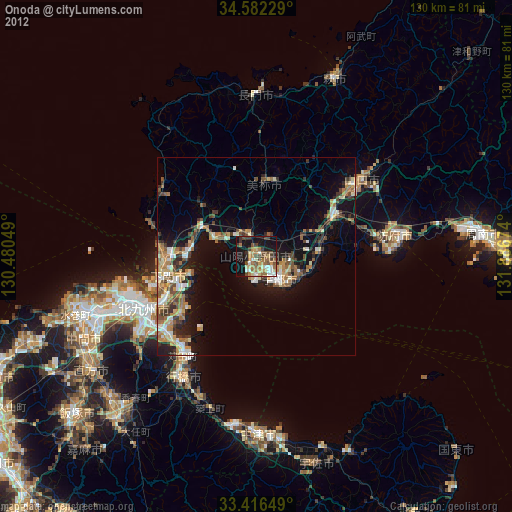
Map coordinates:
34° 34' 56.2" North, 130° 28' 49.8" East
34° 0' 5" North, 131° 11' 1" East
33° 24' 59.4" North, 131° 53' 12.3" East
Some cities around Onoda sort by population:
• Kitakyushu
35 km =21.7 mi,  241°
241°
• Shimonoseki
22.3 km =13.9 mi,  255°
255°
• Ube
9 km =5.6 mi,  136°
136°
• Yamaguchi
33 km =20.5 mi,  52°
52°
• Hōfu
35.7 km =22.2 mi,  81°
81°
• Yukuhashi
35.5 km =22.1 mi,  211°
211°
• Kanda
30.5 km =19 mi,  217°
217°
• Ogōri-shimogō
22.8 km =14.2 mi,  61°
61°
1854018 (p: 44,295)
Sources (retrieved 2019-11-25):
» Earth at Night: Flat Maps 2012, 2016