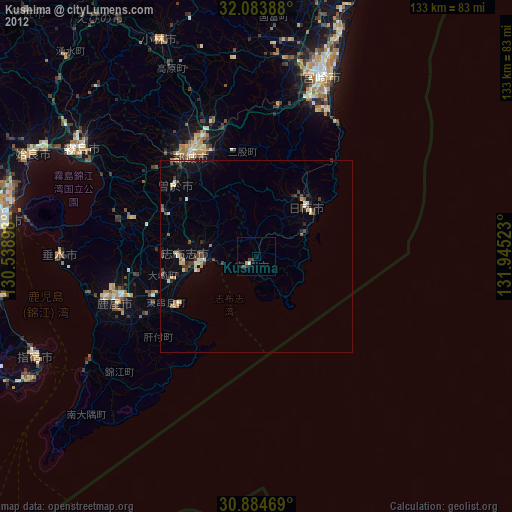
Kushima night lights from space
Night Light of Kushima (Miyazaki) from space (Japan) Src. Average luminocity for 10x10km area is 1.771% and for 50x50km: 1.6395%.
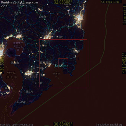
Analysis of Kushima night lights 2016
Square area 10x10 km:
 0%
0%90-99
0%80-89
0%70-79
0%60-69
0%50-59
0%40-49
1.4%30-39
2.1%20-29
0.7%10-19
0%0-9
95.8%Square area 50x50 km:
0.01%90-99
0.14%80-89
0.18%70-79
0.2%60-69
0.24%50-59
0.35%40-49
0.21%30-39
0.48%20-29
0.51%10-19
0.64%0-9
97.05%Clear (daylight) street map image can be seen on geolist.org.
Map coordinates:
32° 5' 2" North, 130° 32' 20.3" East
31° 29' 10.4" North, 131° 14' 31.6" East
30° 53' 4.9" North, 131° 56' 42.8" East
Some cities around Kushima sort by population:
• Miyazaki
50.6 km =31.4 mi,  19°
19°
• Miyakonojō
32.1 km =19.9 mi,  328°
328°
• Kanoya
38.9 km =24.2 mi,  252°
252°
• Kokubu-matsuki
52.7 km =32.7 mi,  301°
301°
• Nichinan
17.3 km =10.7 mi,  43°
43°
• Sueyoshichō-ninokata
28.1 km =17.5 mi,  310°
310°
• Tarumizu
51.4 km =31.9 mi,  269°
269°
• Shibushi
13.4 km =8.3 mi, 265°
1895695 (p: 22,102)
Sources (retrieved 2019-11-25):
» Earth at Night: Flat Maps 2012, 2016