Matsuyama night lights from space
Night Light of Matsuyama (Ehime) from space (Japan) Src. Average luminocity for 10x10km area is 63.4913% and for 50x50km: 6.4432%.
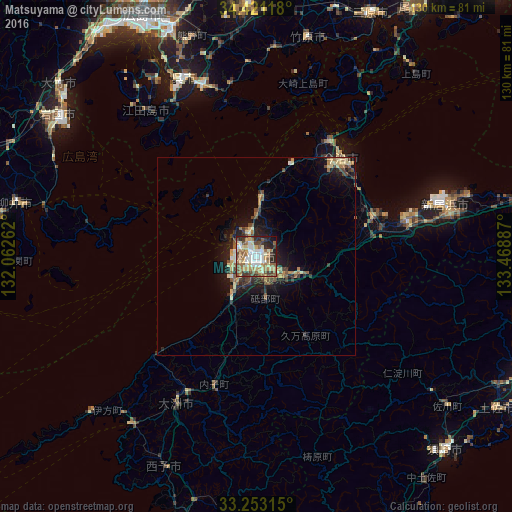
Analysis of Matsuyama night lights 2016
Square area 10x10 km:
 10.49%
90-99
12.94%80-89
11.36%70-79
8.74%60-69
12.24%50-59
11.19%40-49
8.74%30-39
8.04%20-29
12.24%10-19
3.85%0-9
0.17%Square area 50x50 km:
0.48%90-99
0.8%80-89
1.24%70-79
0.65%60-69
1.07%50-59
1.01%40-49
1.18%30-39
1.14%20-29
1.68%10-19
4.25%0-9
86.51%Clear (daylight) street map image can be seen on geolist.org.
Map coordinates:
34° 25' 16.2" North, 132° 3' 45.4" East
33° 50' 21" North, 132° 45' 56.7" East
33° 15' 11.3" North, 133° 28' 7.9" East
Some cities around Matsuyama sort by population:
• Kure
47.4 km =29.5 mi,  337°
337°
• Niihama
51.6 km =32.1 mi,  74°
74°
• Saijō
39.5 km =24.5 mi,  77°
77°
• Ōzu
42.7 km =26.5 mi,  207°
207°
• Iyo
11.4 km =7.1 mi, 211°
• Masaki-chō
7.6 km =4.7 mi,  221°
221°
• Takehara
57.2 km =35.5 mi,  14°
14°
• Hōjō
15.3 km =9.5 mi,  4°
4°
1926099 (p: 443,322)
Sources (retrieved 2019-11-25):
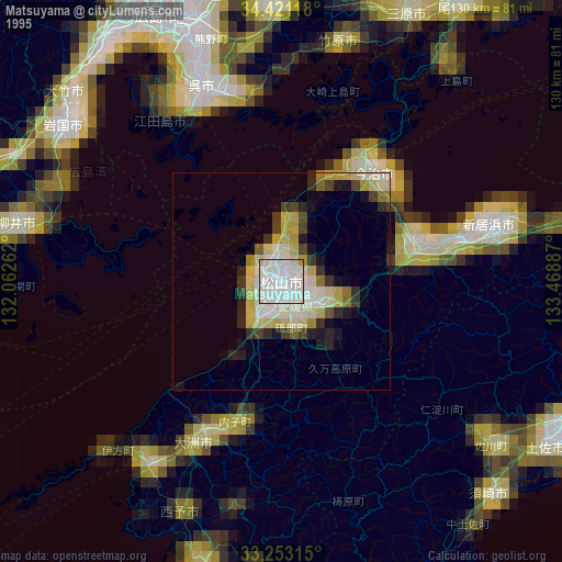
» NASA, Earths city lights 1995
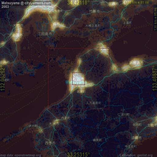
» NASA city lights 2003
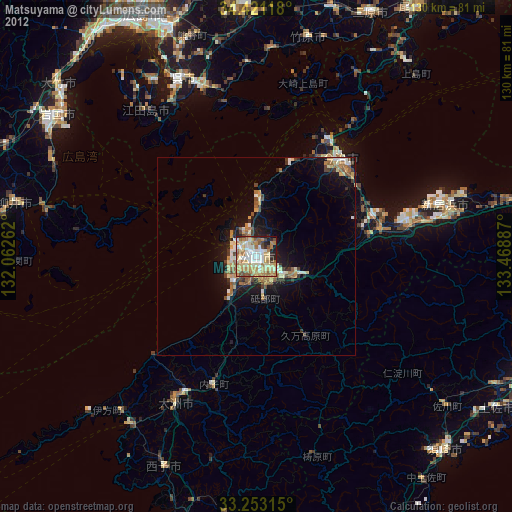
» Earth at Night: Flat Maps 2012, 2016