Ḩalāwah night lights from space
Night Light of Ḩalāwah (Ajlun) from space (Jordan) Src. Average luminocity for 10x10km area is 30.0916% and for 50x50km: 38.2683%.
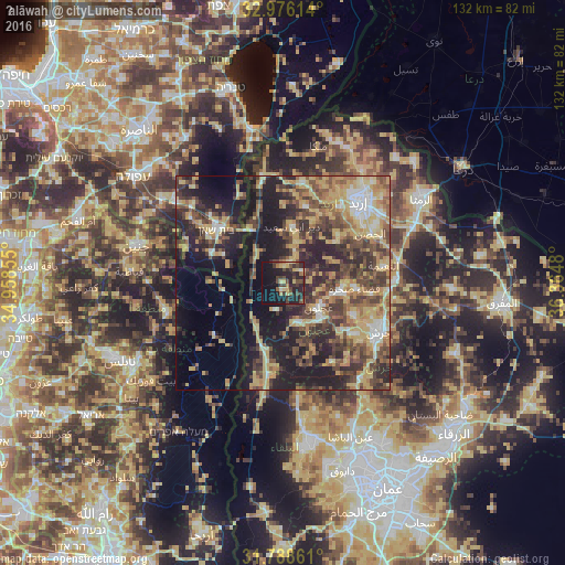
Analysis of Ḩalāwah night lights 2016
Square area 10x10 km:
 0.18%
0.18%90-99
2.01%80-89
6.04%70-79
2.93%60-69
3.66%50-59
2.38%40-49
10.62%30-39
8.24%20-29
19.6%10-19
28.21%0-9
16.12%Square area 50x50 km:
2.48%90-99
3.52%80-89
8.82%70-79
6.99%60-69
5.36%50-59
5.98%40-49
9.26%30-39
8%20-29
11.86%10-19
17.84%0-9
19.9%Clear (daylight) street map image can be seen on geolist.org.
Map coordinates:
32° 58' 34.1" North, 34° 57' 30.8" East
32° 23' 3.6" North, 35° 39' 42" East
31° 47' 19" North, 36° 21' 53.3" East
Some cities around Ḩalāwah sort by population:
• ‘Ajlūn
10.3 km =6.4 mi,  123°
123°
• Judita
5.1 km =3.2 mi,  58°
58°
• Kurayyimah
13.4 km =8.3 mi,  205°
205°
• ‘Anjarah
12.4 km =7.7 mi,  134°
134°
• ‘Ayn Jannah
11.1 km =6.9 mi, 119°
• Kafr Abīl
3.7 km =2.3 mi,  2°
2°
• Dayr Yūsuf
17 km =10.6 mi,  47°
47°
• Tibnah
12 km =7.5 mi,  32°
32°
249310 (p: 5,376)
Sources (retrieved 2019-11-25):
» Earth at Night: Flat Maps 2012, 2016