‘Ajlūn night lights from space
Night Light of ‘Ajlūn (Ajlun) from space (Jordan) Src. Average luminocity for 10x10km area is 56.4817% and for 50x50km: 40.3677%.
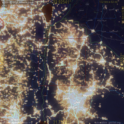
Analysis of ‘Ajlūn night lights 2016
Square area 10x10 km:
 6.96%
6.96%90-99
8.24%80-89
8.61%70-79
6.59%60-69
10.44%50-59
8.24%40-49
20.7%30-39
16.48%20-29
13.74%10-19
0%0-9
0%Square area 50x50 km:
2.37%90-99
3.42%80-89
8.43%70-79
7.21%60-69
5.83%50-59
6.81%40-49
11.19%30-39
9.24%20-29
13.66%10-19
19.4%0-9
12.44%Clear (daylight) street map image can be seen on geolist.org.
Map coordinates:
32° 55' 31.5" North, 35° 2' 58.8" East
32° 19' 59.7" North, 35° 45' 10" East
31° 44' 14" North, 36° 27' 21.3" East
Some cities around ‘Ajlūn sort by population:
• Judita
9.3 km =5.8 mi,  333°
333°
• ‘Anjarah
3 km =1.9 mi,  173°
173°
• Sūf
8.2 km =5.1 mi,  105°
105°
• Sakib
7.6 km =4.7 mi,  135°
135°
• Şakhrah
9.4 km =5.8 mi,  63°
63°
• ‘Ayn Jannah
1 km =0.6 mi,  81°
81°
• Raymūn
9.1 km =5.7 mi,  128°
128°
• Ḩalāwah
10.3 km =6.4 mi,  303°
303°
250799 (p: 125,557)
Sources (retrieved 2019-11-25):
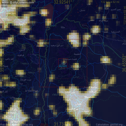
» NASA, Earths city lights 1995
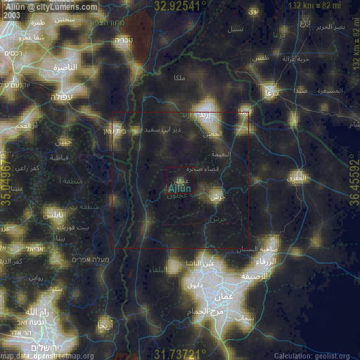
» NASA city lights 2003
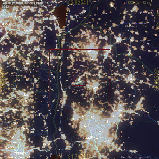
» Earth at Night: Flat Maps 2012, 2016