May Pen night lights from space
Night Light of May Pen (Clarendon) from space (Jamaica) Src. Average luminocity for 10x10km area is 49.171% and for 50x50km: 11.7106%.
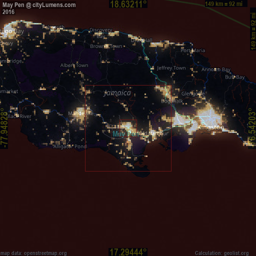
Analysis of May Pen night lights 2016
Square area 10x10 km:
 1.52%
1.52%90-99
8.66%80-89
12.34%70-79
14.5%60-69
5.19%50-59
3.46%40-49
4.76%30-39
6.71%20-29
20.56%10-19
22.08%0-9
0.22%Square area 50x50 km:
0.16%90-99
0.67%80-89
2.41%70-79
2.16%60-69
1.54%50-59
1.38%40-49
2.16%30-39
2.16%20-29
3.79%10-19
12.15%0-9
71.42%Clear (daylight) street map image can be seen on geolist.org.
Map coordinates:
18° 37' 55.6" North, 77° 56' 53.8" West
17° 57' 52.3" North, 77° 14' 42.5" West
17° 17' 40" North, 76° 32' 31.3" West
Some cities around May Pen sort by population:
• Mandeville
29 km =18 mi,  287°
287°
• Old Harbour
14.6 km =9.1 mi,  100°
100°
• Ewarton
29.6 km =18.4 mi,  34°
34°
• Hayes
9.9 km =6.2 mi,  175°
175°
• Old Harbour Bay
16.8 km =10.4 mi,  111°
111°
• Porus
19.3 km =12 mi, 294°
• Lionel Town
17.2 km =10.7 mi, 178°
• Point Hill
20.1 km =12.5 mi,  46°
46°
3489523 (p: 44,755)
Sources (retrieved 2019-11-25):
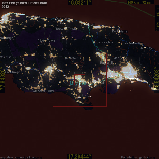
» Earth at Night: Flat Maps 2012, 2016