Mandeville night lights from space
Night Light of Mandeville (Manchester) from space (Jamaica) Src. Average luminocity for 10x10km area is 52.5801% and for 50x50km: 7.388%.
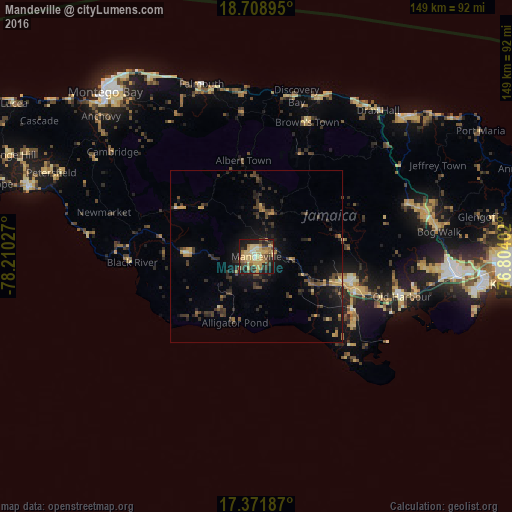
Analysis of Mandeville night lights 2016
Square area 10x10 km:
 0.87%
0.87%90-99
3.68%80-89
21.65%70-79
12.55%60-69
8.01%50-59
6.06%40-49
7.36%30-39
9.74%20-29
12.12%10-19
17.53%0-9
0.43%Square area 50x50 km:
0.07%90-99
0.22%80-89
1.22%70-79
1.16%60-69
1.02%50-59
0.78%40-49
1.75%30-39
2.26%20-29
2.85%10-19
5.62%0-9
83.05%Clear (daylight) street map image can be seen on geolist.org.
Map coordinates:
18° 42' 32.2" North, 78° 12' 37" West
18° 2' 30" North, 77° 30' 25.7" West
17° 22' 18.7" North, 76° 48' 14.5" West
Some cities around Mandeville sort by population:
• May Pen
29 km =18 mi,  107°
107°
• Hayes
34 km =21.1 mi,  122°
122°
• Santa Cruz
20.3 km =12.6 mi,  273°
273°
• Bull Savanna
19.3 km =12 mi,  207°
207°
• Porus
10.1 km =6.3 mi,  93°
93°
• Lionel Town
38.2 km =23.7 mi,  132°
132°
• Point Hill
42.6 km =26.5 mi,  82°
82°
• Black River
36.2 km =22.5 mi, 267°
3489577 (p: 47,115)
Sources (retrieved 2019-11-25):
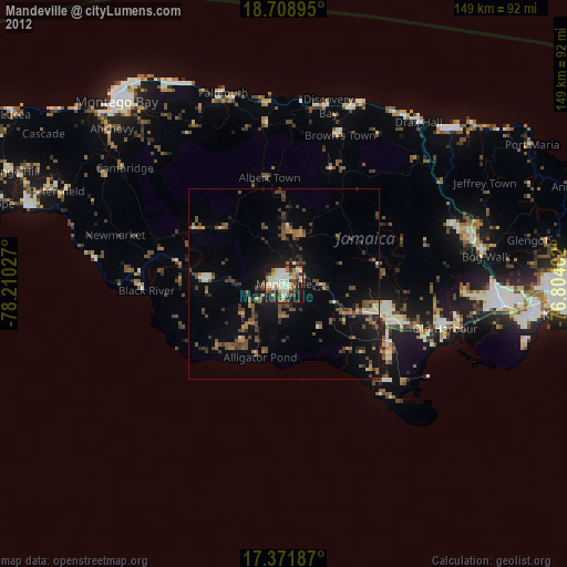
» Earth at Night: Flat Maps 2012, 2016