Ponticelli night lights from space
Night Light of Ponticelli (Campania) from space (Italy) Src. Average luminocity for 10x10km area is 90.6599% and for 50x50km: 52.6691%.
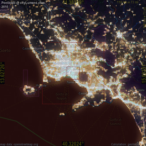

Analysis of Ponticelli night lights 2016
Square area 10x10 km:
 53.4%
53.4%90-99
24.66%80-89
3.74%70-79
4.93%60-69
3.91%50-59
1.36%40-49
2.21%30-39
5.1%20-29
0.68%10-19
0%0-9
0%Square area 50x50 km:
13.83%90-99
13.4%80-89
5.57%70-79
7.26%60-69
7.9%50-59
5.36%40-49
3.91%30-39
6.19%20-29
9.82%10-19
8.79%0-9
17.97%Clear (daylight) street map image can be seen on geolist.org.
Map coordinates:
41° 23' 2" North, 13° 37' 38.1" East
40° 51' 15.1" North, 14° 19' 49.4" East
40° 19' 12.9" North, 15° 2' 0.6" East
Some cities around Ponticelli sort by population:
• San Giorgio a Cremano
2.6 km =1.6 mi,  158°
158°
• Barra
1.6 km =1 mi,  217°
217°
• San Giovanni a Teduccio
2.7 km =1.7 mi,  228°
228°
• Poggioreale
3.7 km =2.3 mi,  289°
289°
• Volla
2.3 km =1.4 mi,  22°
22°
• Cercola
2.4 km =1.5 mi,  73°
73°
• San Sebastiano al Vesuvio
3.1 km =1.9 mi,  112°
112°
• Massa di Somma
3.9 km =2.4 mi,  104°
104°
3170206 (p: 52,284)
Sources (retrieved 2019-11-25):
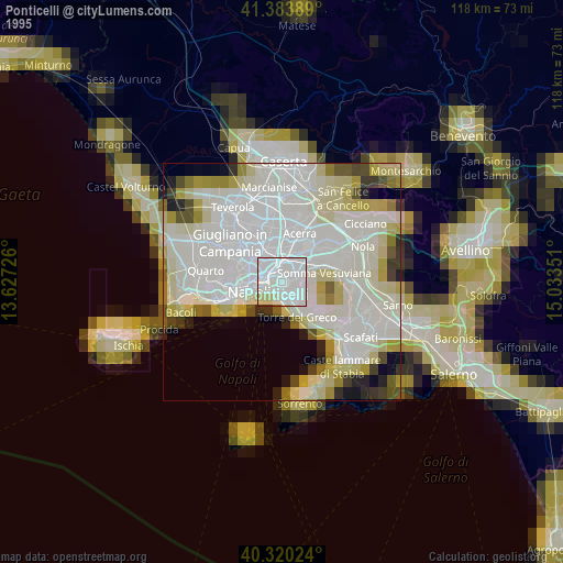
» NASA, Earths city lights 1995
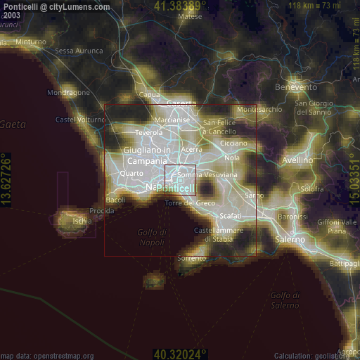
» NASA city lights 2003
» Earth at Night: Flat Maps 2012, 2016