Vimercate night lights from space
Night Light of Vimercate (Lombardy) from space (Italy) Src. Average luminocity for 10x10km area is 90.8773% and for 50x50km: 73.3495%.
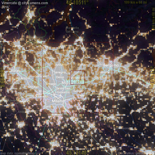
Analysis of Vimercate night lights 2016
Square area 10x10 km:
 31.52%
90-99
35.45%80-89
11.82%70-79
13.18%60-69
7.12%50-59
0.91%40-49
0%30-39
0%20-29
0%10-19
0%0-9
0%Square area 50x50 km:
27.78%90-99
17.98%80-89
6.78%70-79
8.84%60-69
8.58%50-59
6.37%40-49
5.43%30-39
5.53%20-29
7.07%10-19
4.85%0-9
0.79%Clear (daylight) street map image can be seen on geolist.org.
Map coordinates:
46° 6' 18.4" North, 8° 39' 53.6" East
45° 36' 55.6" North, 9° 22' 4.8" East
45° 7' 17.3" North, 10° 4' 16.1" East
Some cities around Vimercate sort by population:
• Arcore
3.6 km =2.2 mi,  290°
290°
• Concorezzo
4 km =2.5 mi,  221°
221°
• Agrate Brianza
4.8 km =3 mi,  198°
198°
• Villasanta
4.8 km =3 mi,  257°
257°
• Bernareggio
4.6 km =2.9 mi,  38°
38°
• Usmate-Velate
3.6 km =2.2 mi,  353°
353°
• Carnate
3.8 km =2.4 mi,  12°
12°
• Bellusco
4 km =2.5 mi,  83°
83°
3164083 (p: 22,727)
Sources (retrieved 2019-11-25):
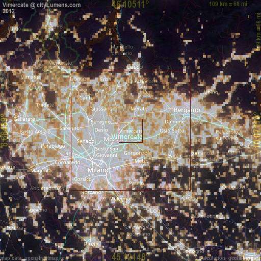
» Earth at Night: Flat Maps 2012, 2016