Villasor night lights from space
Night Light of Villasor (Sardinia) from space (Italy) Src. Average luminocity for 10x10km area is 17.3861% and for 50x50km: 15.3337%.
Analysis of Villasor night lights 2016
Square area 10x10 km:
 0.17%
0.17%90-99
2.21%80-89
2.21%70-79
3.91%60-69
1.7%50-59
1.87%40-49
1.87%30-39
1.19%20-29
0.34%10-19
27.21%0-9
57.31%Square area 50x50 km:
1.72%90-99
2.86%80-89
2.16%70-79
1.92%60-69
1.8%50-59
1.55%40-49
1.74%30-39
2.23%20-29
4.8%10-19
8.41%0-9
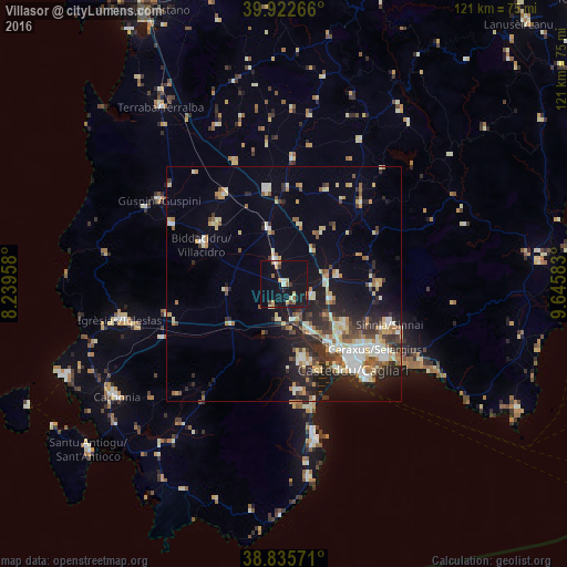
70.82%Clear (daylight) street map image can be seen on geolist.org.
Map coordinates:
39° 55' 21.6" North, 8° 14' 22.5" East
39° 22' 52.7" North, 8° 56' 33.7" East
38° 50' 8.6" North, 9° 38' 45" East
Some cities around Villasor sort by population:
• Assemini
11.1 km =6.9 mi,  154°
154°
• Sestu
15.8 km =9.8 mi,  125°
125°
• Serramanna
5 km =3.1 mi,  339°
339°
• Elmas
15.6 km =9.7 mi,  143°
143°
• Decimomannu
8.2 km =5.1 mi,  163°
163°
• San Sperate
6.2 km =3.9 mi,  115°
115°
• Uta
10 km =6.2 mi,  175°
175°
• Samassi
11.7 km =7.3 mi, 344°
2522725 (p: 6,598)
Sources (retrieved 2019-11-25):
» Earth at Night: Flat Maps 2012, 2016