Vieste night lights from space
Night Light of Vieste (Apulia) from space (Italy) Src. Average luminocity for 10x10km area is 14.5508% and for 50x50km: 1.8934%.
Analysis of Vieste night lights 2016
Square area 10x10 km:
 1.43%
1.43%90-99
1.75%80-89
1.11%70-79
2.38%60-69
2.22%50-59
2.86%40-49
1.9%30-39
3.33%20-29
1.27%10-19
3.17%0-9
78.57%Square area 50x50 km:
0.13%90-99
0.28%80-89
0.17%70-79
0.13%60-69
0.24%50-59
0.26%40-49
0.4%30-39
0.37%20-29
0.29%10-19
0.72%0-9
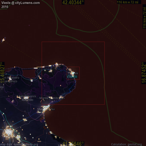
96.99%Clear (daylight) street map image can be seen on geolist.org.
Map coordinates:
42° 24' 12.4" North, 15° 28' 5.8" East
41° 52' 55.5" North, 16° 10' 17" East
41° 21' 23.3" North, 16° 52' 28.3" East
Some cities around Vieste sort by population:
• Manfredonia
34.9 km =21.7 mi,  216°
216°
• San Giovanni Rotondo
41.6 km =25.8 mi,  242°
242°
• Sannicandro Garganico
50.4 km =31.3 mi,  264°
264°
• San Marco in Lamis
48.1 km =29.9 mi,  246°
246°
• Monte Sant'Angelo
26.3 km =16.3 mi, 221°
• Cagnano Varano
33.6 km =20.9 mi, 259°
• Vico del Gargano
17.8 km =11.1 mi,  275°
275°
• Mattinata
21.5 km =13.4 mi,  207°
207°
3164387 (p: 11,227)
Sources (retrieved 2019-11-25):
» Earth at Night: Flat Maps 2012, 2016