San Giovanni Rotondo night lights from space
Night Light of San Giovanni Rotondo (Apulia) from space (Italy) Src. Average luminocity for 10x10km area is 10.1948% and for 50x50km: 4.9879%.
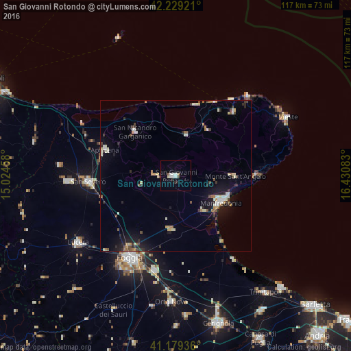
Analysis of San Giovanni Rotondo night lights 2016
Square area 10x10 km:
 2.6%
2.6%90-99
2.6%80-89
0.65%70-79
0%60-69
0.65%50-59
0.65%40-49
0.65%30-39
0%20-29
1.95%10-19
0.65%0-9
89.61%Square area 50x50 km:
0.49%90-99
1.01%80-89
0.54%70-79
0.44%60-69
0.48%50-59
0.56%40-49
0.6%30-39
0.6%20-29
0.89%10-19
3.36%0-9
91.03%Clear (daylight) street map image can be seen on geolist.org.
Map coordinates:
42° 13' 45.2" North, 15° 1' 28.5" East
41° 42' 23.1" North, 15° 43' 39.7" East
41° 10' 45.7" North, 16° 25' 51" East
Some cities around San Giovanni Rotondo sort by population:
• Manfredonia
18 km =11.2 mi,  117°
117°
• Sannicandro Garganico
19.9 km =12.4 mi,  317°
317°
• San Marco in Lamis
7.5 km =4.7 mi,  274°
274°
• Apricena
25.2 km =15.7 mi,  290°
290°
• Monte Sant'Angelo
19.3 km =12 mi,  90°
90°
• Cagnano Varano
14 km =8.7 mi,  15°
15°
• Vico del Gargano
28.4 km =17.6 mi,  41°
41°
• Mattinata
26.8 km =16.7 mi, 88°
3168234 (p: 26,179)
Sources (retrieved 2019-11-25):
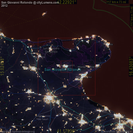
» Earth at Night: Flat Maps 2012, 2016