Verbania night lights from space
Night Light of Verbania (Piedmont) from space (Italy) Src. Average luminocity for 10x10km area is 26.1771% and for 50x50km: 19.8166%.
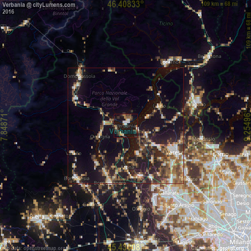
Analysis of Verbania night lights 2016
Square area 10x10 km:
 2.53%
2.53%90-99
4.32%80-89
1.34%70-79
1.49%60-69
3.42%50-59
3.57%40-49
3.42%30-39
6.85%20-29
7.44%10-19
49.7%0-9
15.92%Square area 50x50 km:
1.61%90-99
2.83%80-89
1.85%70-79
2.12%60-69
3.02%50-59
3.45%40-49
4.2%30-39
3.59%20-29
6.05%10-19
18.56%0-9
52.71%Clear (daylight) street map image can be seen on geolist.org.
Map coordinates:
46° 24' 30" North, 7° 50' 55.4" East
45° 55' 16.9" North, 8° 33' 6.6" East
45° 25' 48.3" North, 9° 15' 17.9" East
Some cities around Verbania sort by population:
• Pallanza-Intra-Suna
2.3 km =1.4 mi,  38°
38°
• Omegna
12.1 km =7.5 mi,  247°
247°
• Arona
18.1 km =11.2 mi,  178°
178°
• Luino
17.4 km =10.8 mi,  59°
59°
• Gavirate
16.4 km =10.2 mi,  124°
124°
• Besozzo
11.9 km =7.4 mi,  132°
132°
• Laveno
5.5 km =3.4 mi,  104°
104°
• Gravellona Toce
9.3 km =5.8 mi,  274°
274°
6457398 (p: 31,070)
Sources (retrieved 2019-11-25):
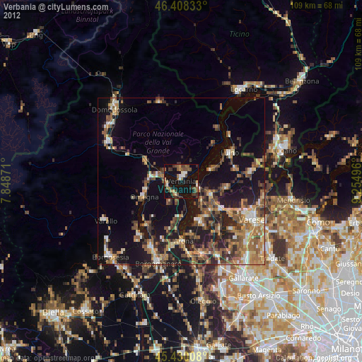
» Earth at Night: Flat Maps 2012, 2016