Luino night lights from space
Night Light of Luino (Lombardy) from space (Italy) Src. Average luminocity for 10x10km area is 17.6151% and for 50x50km: 19.5905%.
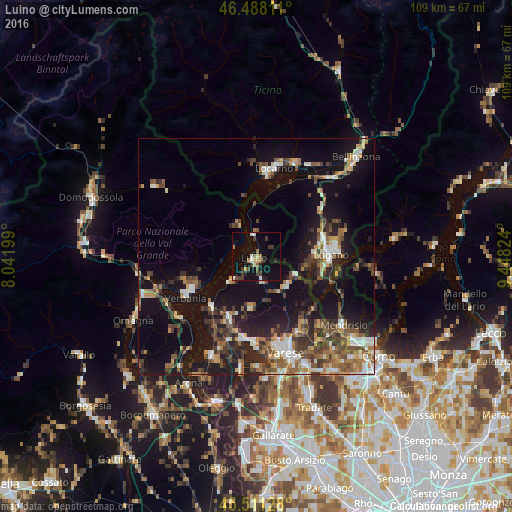
Analysis of Luino night lights 2016
Square area 10x10 km:
 1.42%
1.42%90-99
2.56%80-89
1.7%70-79
0.57%60-69
3.13%50-59
1.56%40-49
2.84%30-39
4.69%20-29
2.27%10-19
17.61%0-9
61.65%Square area 50x50 km:
1.87%90-99
3.12%80-89
1.48%70-79
2.12%60-69
2.84%50-59
3.41%40-49
3.83%30-39
3.94%20-29
5.22%10-19
17.95%0-9
54.22%Clear (daylight) street map image can be seen on geolist.org.
Map coordinates:
46° 29' 17.2" North, 8° 2' 31.2" East
46° 0' 6.7" North, 8° 44' 42.4" East
45° 30' 40.6" North, 9° 26' 53.7" East
Some cities around Luino sort by population:
• Lugano, CH
16.6 km =10.3 mi,  86°
86°
• Verbania
17.4 km =10.8 mi,  239°
239°
• Pallanza-Intra-Suna
15.2 km =9.4 mi, 242°
• Laveno
14.1 km =8.8 mi,  223°
223°
• Viganello, CH
17.3 km =10.7 mi, 85°
• Massagno, CH
15.4 km =9.6 mi, 85°
• Lavena Ponte Tresa
9.5 km =5.9 mi,  114°
114°
• Ascona, CH
17.1 km =10.6 mi,  7°
7°
3174483 (p: 12,146)
Sources (retrieved 2019-11-25):
» Earth at Night: Flat Maps 2012, 2016