Tortolì night lights from space
Night Light of Tortolì (Sardinia) from space (Italy) Src. Average luminocity for 10x10km area is 20.3605% and for 50x50km: 2.4802%.
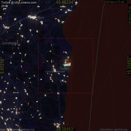
Analysis of Tortolì night lights 2016
Square area 10x10 km:
 2.21%
2.21%90-99
4.42%80-89
2.55%70-79
2.04%60-69
3.4%50-59
2.04%40-49
1.7%30-39
2.38%20-29
1.19%10-19
18.03%0-9
60.03%Square area 50x50 km:
0.09%90-99
0.42%80-89
0.51%70-79
0.34%60-69
0.32%50-59
0.25%40-49
0.23%30-39
0.25%20-29
0.41%10-19
0.93%0-9
96.25%Clear (daylight) street map image can be seen on geolist.org.
Map coordinates:
40° 27' 48" North, 8° 57' 9.2" East
39° 55' 34.5" North, 9° 39' 20.5" East
39° 23' 5.7" North, 10° 21' 31.8" East
Some cities around Tortolì sort by population:
• Nuoro
52 km =32.3 mi,  327°
327°
• Sinnai
79.4 km =49.3 mi,  209°
209°
• Dolianova
73.5 km =45.7 mi, 213°
• Siniscola
72 km =44.7 mi,  2°
2°
• Sanluri
76.3 km =47.4 mi,  237°
237°
• Oliena
44.5 km =27.7 mi, 330°
• Dorgali
41.1 km =25.5 mi,  351°
351°
• Orosei
50.4 km =31.3 mi, 3°
2522890 (p: 7,830)
Sources (retrieved 2019-11-25):
» Earth at Night: Flat Maps 2012, 2016