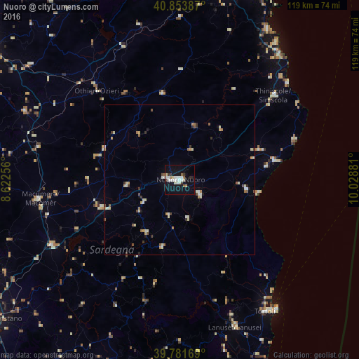
Nuoro night lights from space
Night Light of Nuoro (Sardinia) from space (Italy) Src. Average luminocity for 10x10km area is 23.1735% and for 50x50km: 3.2794%.

Analysis of Nuoro night lights 2016
Square area 10x10 km:
 4.76%
4.76%90-99
6.46%80-89
2.04%70-79
0.68%60-69
1.87%50-59
1.19%40-49
0%30-39
3.74%20-29
1.02%10-19
28.4%0-9
49.83%Square area 50x50 km:
0.33%90-99
0.7%80-89
0.5%70-79
0.3%60-69
0.38%50-59
0.37%40-49
0.24%30-39
0.47%20-29
0.22%10-19
1.28%0-9
95.22%Clear (daylight) street map image can be seen on geolist.org.
Map coordinates:
40° 51' 13.9" North, 8° 37' 21.2" East
40° 19' 11.7" North, 9° 19' 32.4" East
39° 46' 54.1" North, 10° 1' 43.7" East
Some cities around Nuoro sort by population:
• Tempio Pausania
67.2 km =41.8 mi,  343°
343°
• Macomer
47.8 km =29.7 mi,  262°
262°
• Siniscola
42.2 km =26.2 mi,  48°
48°
• Tortolì
52 km =32.3 mi,  147°
147°
• Ozieri
40.3 km =25 mi,  317°
317°
• Oliena
8.1 km =5 mi,  126°
126°
• Dorgali
22.4 km =13.9 mi,  97°
97°
• Orosei
31.8 km =19.8 mi,  78°
78°
3172154 (p: 35,948)
Sources (retrieved 2019-11-25):
» Earth at Night: Flat Maps 2012, 2016