Dorgali night lights from space
Night Light of Dorgali (Sardinia) from space (Italy) Src. Average luminocity for 10x10km area is 9.0595% and for 50x50km: 2.5854%.
Analysis of Dorgali night lights 2016
Square area 10x10 km:
 0.68%
0.68%90-99
2.72%80-89
1.36%70-79
0%60-69
1.36%50-59
1.36%40-49
1.36%30-39
0.68%20-29
1.19%10-19
0.68%0-9
88.61%Square area 50x50 km:
0.26%90-99
0.63%80-89
0.31%70-79
0.23%60-69
0.37%50-59
0.23%40-49
0.11%30-39
0.34%20-29
0.28%10-19
1.03%0-9
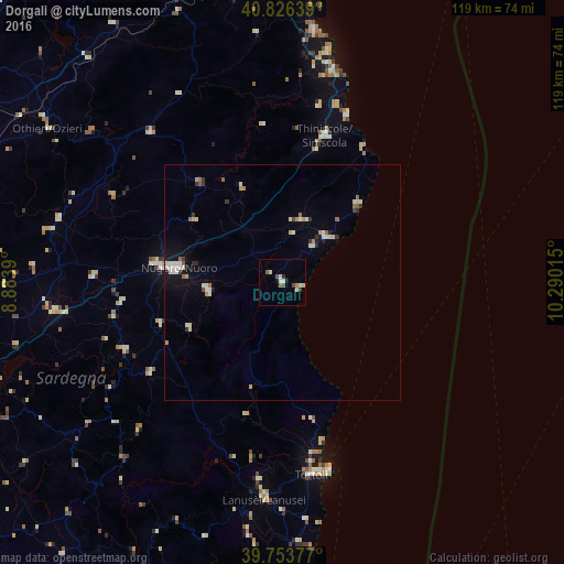
96.22%Clear (daylight) street map image can be seen on geolist.org.
Map coordinates:
40° 49' 35" North, 8° 53' 2" East
40° 17' 32" North, 9° 35' 13.3" East
39° 45' 13.6" North, 10° 17' 24.5" East
Some cities around Dorgali sort by population:
• Olbia
70.6 km =43.9 mi,  353°
353°
• Nuoro
22.4 km =13.9 mi,  277°
277°
• Macomer
69.6 km =43.2 mi,  267°
267°
• Siniscola
32.6 km =20.3 mi,  16°
16°
• Tortolì
41.1 km =25.5 mi,  171°
171°
• Ozieri
59.2 km =36.8 mi,  303°
303°
• Oliena
15.8 km =9.8 mi,  263°
263°
• Orosei
13.1 km =8.1 mi,  43°
43°
3177513 (p: 6,498)
Sources (retrieved 2019-11-25):
» Earth at Night: Flat Maps 2012, 2016