Termoli night lights from space
Night Light of Termoli (Molise) from space (Italy) Src. Average luminocity for 10x10km area is 36.8206% and for 50x50km: 6.4357%.
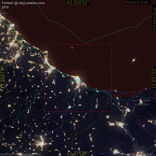
Analysis of Termoli night lights 2016
Square area 10x10 km:
 7.14%
7.14%90-99
9.05%80-89
4.13%70-79
4.92%60-69
2.86%50-59
3.33%40-49
1.59%30-39
2.86%20-29
11.43%10-19
33.49%0-9
19.21%Square area 50x50 km:
0.84%90-99
1.48%80-89
0.67%70-79
0.63%60-69
0.58%50-59
0.63%40-49
0.45%30-39
0.79%20-29
1.77%10-19
5.23%0-9
86.93%Clear (daylight) street map image can be seen on geolist.org.
Map coordinates:
42° 31' 13.2" North, 14° 17' 26.8" East
41° 59' 59.8" North, 14° 59' 38" East
41° 28' 31" North, 15° 41' 49.3" East
Some cities around Termoli sort by population:
• Vasto
26.8 km =16.7 mi,  297°
297°
• San Salvo
22.1 km =13.7 mi,  282°
282°
• Torremaggiore
42.6 km =26.5 mi,  144°
144°
• Lesina
33.5 km =20.8 mi,  117°
117°
• San Paolo di Civitate
36.5 km =22.7 mi, 142°
• Montenero di Bisaccia
18 km =11.2 mi,  257°
257°
• Larino
22.6 km =14 mi,  196°
196°
• Casalbordino-Miracoli
36.8 km =22.9 mi, 297°
3165773 (p: 31,044)
Sources (retrieved 2019-11-25):
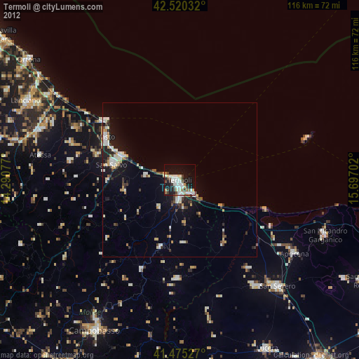
» Earth at Night: Flat Maps 2012, 2016