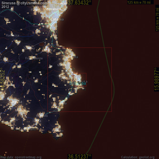
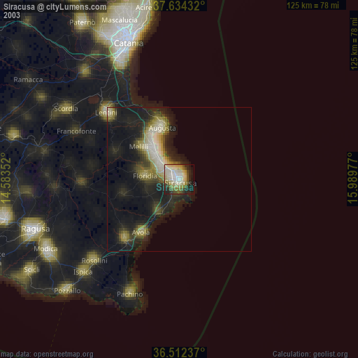
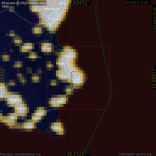
Siracusa night lights from space
Night Light of Siracusa (Sicily) from space (Italy) Src. Average luminocity for 10x10km area is 49.9677% and for 50x50km: 14.3411%.

Analysis of Siracusa night lights 2016
Square area 10x10 km:
 11.73%
90-99
10.54%80-89
6.63%70-79
5.27%60-69
8.5%50-59
4.08%40-49
5.95%30-39
7.82%20-29
10.03%10-19
16.84%0-9
12.59%Square area 50x50 km:
1.85%90-99
1.87%80-89
2.14%70-79
1.94%60-69
2.18%50-59
1.65%40-49
1.99%30-39
2.86%20-29
3.99%10-19
10.23%0-9
69.31%Clear (daylight) street map image can be seen on geolist.org.
Map coordinates:
37° 38' 3.6" North, 14° 35' 0.7" East
37° 4' 31.5" North, 15° 17' 11.9" East
36° 30' 44.5" North, 15° 59' 23.2" East
Some cities around Siracusa sort by population:
• Augusta
19.3 km =12 mi,  342°
342°
• Avola
22.7 km =14.1 mi,  215°
215°
• Floridia
11.9 km =7.4 mi,  274°
274°
• Priolo Gargallo
12.8 km =8 mi,  313°
313°
• Solarino
15.1 km =9.4 mi,  281°
281°
• Canicattini Bagni
20.4 km =12.7 mi,  256°
256°
• Melilli
18 km =11.2 mi, 309°
• Belvedere
6.7 km =4.2 mi, 282°
2523083 (p: 97,472)
Sources (retrieved 2019-11-25):
» NASA, Earths city lights 1995
» NASA city lights 2003
» Earth at Night: Flat Maps 2012, 2016