Canicattini Bagni night lights from space
Night Light of Canicattini Bagni (Sicily) from space (Italy) Src. Average luminocity for 10x10km area is 7.5697% and for 50x50km: 16.4082%.
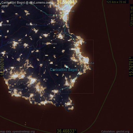
Analysis of Canicattini Bagni night lights 2016
Square area 10x10 km:
 0.85%
0.85%90-99
1.19%80-89
0.68%70-79
1.02%60-69
1.02%50-59
0.34%40-49
0.34%30-39
0.68%20-29
0.68%10-19
2.04%0-9
91.16%Square area 50x50 km:
2%90-99
1.94%80-89
2.38%70-79
2.17%60-69
2.49%50-59
1.89%40-49
2.41%30-39
3.28%20-29
4.28%10-19
11.04%0-9
66.11%Clear (daylight) street map image can be seen on geolist.org.
Map coordinates:
37° 35' 27.4" North, 14° 21' 38.7" East
37° 1' 54.2" North, 15° 3' 50" East
36° 28' 6" North, 15° 46' 1.2" East
Some cities around Canicattini Bagni sort by population:
• Avola
15.3 km =9.5 mi,  153°
153°
• Floridia
9.8 km =6.1 mi,  54°
54°
• Noto
15.5 km =9.6 mi,  178°
178°
• Sortino
14.4 km =8.9 mi,  347°
347°
• Palazzolo Acreide
14.4 km =8.9 mi,  283°
283°
• Solarino
9.2 km =5.7 mi,  32°
32°
• Melilli
17.3 km =10.7 mi,  19°
19°
• Belvedere
14.7 km =9.1 mi,  64°
64°
2525404 (p: 6,893)
Sources (retrieved 2019-11-25):
» Earth at Night: Flat Maps 2012, 2016