San Pancrazio Salentino night lights from space
Night Light of San Pancrazio Salentino (Apulia) from space (Italy) Src. Average luminocity for 10x10km area is 9.4847% and for 50x50km: 20.0093%.
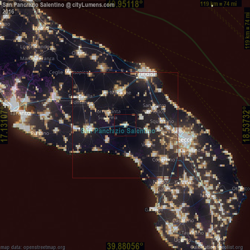
Analysis of San Pancrazio Salentino night lights 2016
Square area 10x10 km:
 0.68%
0.68%90-99
1.7%80-89
1.7%70-79
1.19%60-69
0.51%50-59
0.34%40-49
2.04%30-39
0%20-29
1.02%10-19
0%0-9
90.82%Square area 50x50 km:
2.34%90-99
3.02%80-89
2.11%70-79
1.82%60-69
2.46%50-59
2.31%40-49
2.24%30-39
2.61%20-29
5.73%10-19
26.69%0-9
48.67%Clear (daylight) street map image can be seen on geolist.org.
Map coordinates:
40° 57' 4.2" North, 17° 7' 51.9" East
40° 25' 4.8" North, 17° 50' 3.1" East
39° 52' 50" North, 18° 32' 14.4" East
Some cities around San Pancrazio Salentino sort by population:
• Mesagne
15.8 km =9.8 mi,  351°
351°
• Veglie
14.3 km =8.9 mi,  130°
130°
• Torre Santa Susanna
9.8 km =6.1 mi,  304°
304°
• Salice Salentino
11.4 km =7.1 mi,  108°
108°
• Erchie
8.5 km =5.3 mi,  283°
283°
• San Donaci
8.2 km =5.1 mi,  65°
65°
• Avetrana
11.4 km =7.1 mi,  228°
228°
• Cellino San Marco
12.5 km =7.8 mi,  61°
61°
3167903 (p: 10,184)
Sources (retrieved 2019-11-25):
» Earth at Night: Flat Maps 2012, 2016