San Gavino Monreale night lights from space
Night Light of San Gavino Monreale (Sardinia) from space (Italy) Src. Average luminocity for 10x10km area is 8.8036% and for 50x50km: 7.2521%.
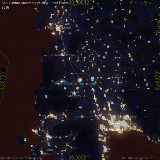
Analysis of San Gavino Monreale night lights 2016
Square area 10x10 km:
 0.49%
0.49%90-99
0.81%80-89
0.65%70-79
2.11%60-69
1.14%50-59
0.97%40-49
0.49%30-39
0.81%20-29
0.32%10-19
0.32%0-9
91.88%Square area 50x50 km:
0.39%90-99
1.01%80-89
1.05%70-79
1.1%60-69
0.83%50-59
0.98%40-49
0.64%30-39
0.91%20-29
1.15%10-19
3%0-9
88.93%Clear (daylight) street map image can be seen on geolist.org.
Map coordinates:
40° 5' 24.4" North, 8° 5' 15.1" East
39° 33' 0.3" North, 8° 47' 26.3" East
39° 0' 20.9" North, 9° 29' 37.6" East
Some cities around San Gavino Monreale sort by population:
• Villacidro
11.2 km =7 mi,  202°
202°
• Guspini
13.4 km =8.3 mi,  264°
264°
• Serramanna
18.1 km =11.2 mi,  141°
141°
• Sanluri
9.4 km =5.8 mi,  82°
82°
• Villasor
22.9 km =14.2 mi,  145°
145°
• Gonnosfanadiga
12.7 km =7.9 mi,  240°
240°
• Arbus
16.6 km =10.3 mi, 260°
• Samassi
12.4 km =7.7 mi,  127°
127°
2523482 (p: 8,647)
Sources (retrieved 2019-11-25):
» Earth at Night: Flat Maps 2012, 2016