San Benedetto del Tronto night lights from space
Night Light of San Benedetto del Tronto (The Marches) from space (Italy) Src. Average luminocity for 10x10km area is 42.419% and for 50x50km: 19.1821%.
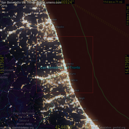
Analysis of San Benedetto del Tronto night lights 2016
Square area 10x10 km:
 7.62%
7.62%90-99
9.52%80-89
5.08%70-79
4.92%60-69
3.02%50-59
4.13%40-49
4.44%30-39
8.25%20-29
21.27%10-19
21.27%0-9
10.48%Square area 50x50 km:
2.21%90-99
3.53%80-89
2.17%70-79
1.98%60-69
2%50-59
2.8%40-49
3.14%30-39
3.51%20-29
7.45%10-19
15.7%0-9
55.51%Clear (daylight) street map image can be seen on geolist.org.
Map coordinates:
43° 28' 9.3" North, 13° 10' 25.1" East
42° 57' 24.5" North, 13° 52' 36.3" East
42° 26' 24.2" North, 14° 34' 47.6" East
Some cities around San Benedetto del Tronto sort by population:
• Grottammare
2.9 km =1.8 mi,  345°
345°
• Alba Adriatica
14.5 km =9 mi,  163°
163°
• Martinsicuro
9 km =5.6 mi, 160°
• Centobuchi
7.2 km =4.5 mi,  198°
198°
• Sant'Egidio alla Vibrata
20 km =12.4 mi,  219°
219°
• Piattoni-Villa Sant'Antonio
16.8 km =10.4 mi,  233°
233°
• Castel di Lama
16.4 km =10.2 mi, 231°
• Tortoreto Lido
18.3 km =11.4 mi, 163°
3168550 (p: 45,873)
Sources (retrieved 2019-11-25):
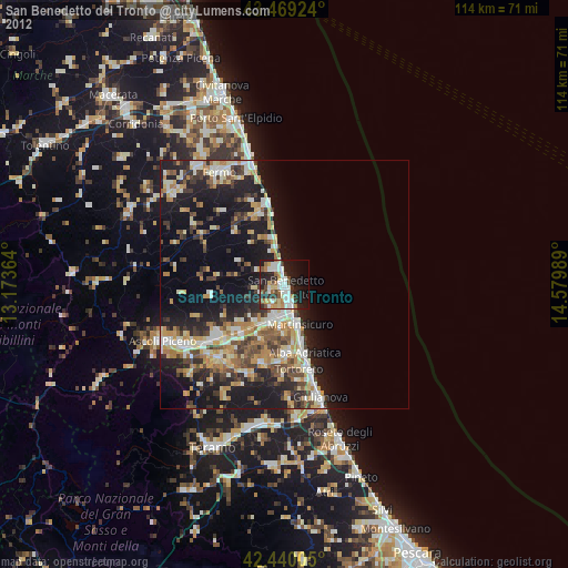
» Earth at Night: Flat Maps 2012, 2016