Rovigo night lights from space
Night Light of Rovigo (Veneto) from space (Italy) Src. Average luminocity for 10x10km area is 52.6561% and for 50x50km: 22.2302%.
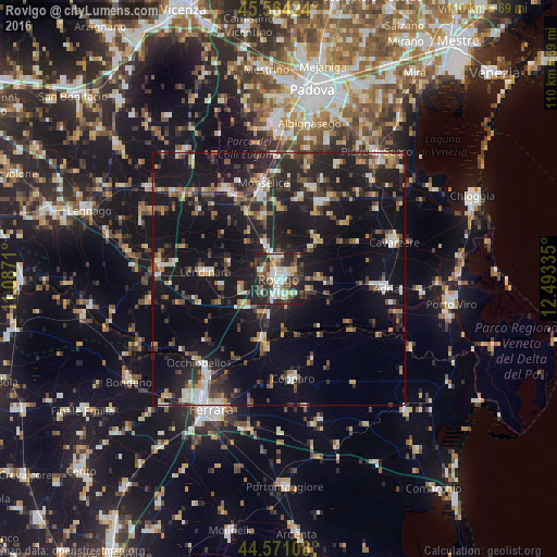
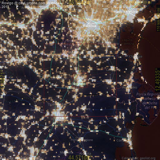
Analysis of Rovigo night lights 2016
Square area 10x10 km:
 9.7%
9.7%90-99
11.36%80-89
6.97%70-79
4.24%60-69
3.48%50-59
6.82%40-49
11.67%30-39
13.33%20-29
26.21%10-19
6.21%0-9
0%Square area 50x50 km:
2.03%90-99
3.34%80-89
2.04%70-79
2.03%60-69
2.51%50-59
3.02%40-49
3.78%30-39
3.96%20-29
9.04%10-19
25.55%0-9
42.69%Clear (daylight) street map image can be seen on geolist.org.
Map coordinates:
45° 33' 51.3" North, 11° 5' 13.6" East
45° 4' 11.4" North, 11° 47' 24.8" East
44° 34' 15.9" North, 12° 29' 36.1" East
Some cities around Rovigo sort by population:
• Monselice
19.1 km =11.9 mi,  350°
350°
• Este
19.7 km =12.2 mi,  329°
329°
• Adria
20.9 km =13 mi,  94°
94°
• Copparo
19.9 km =12.4 mi,  172°
172°
• Conselve
19.2 km =11.9 mi,  20°
20°
• Lendinara
14.8 km =9.2 mi,  275°
275°
• Solesino
12.6 km =7.8 mi,  344°
344°
• Villadose
8.5 km =5.3 mi, 88°
3168843 (p: 39,347)
Sources (retrieved 2019-11-25):
» Earth at Night: Flat Maps 2012, 2016