Roccella Ionica night lights from space
Night Light of Roccella Ionica (Calabria) from space (Italy) Src. Average luminocity for 10x10km area is 12.8248% and for 50x50km: 6.3038%.
Analysis of Roccella Ionica night lights 2016
Square area 10x10 km:
 0.51%
0.51%90-99
1.02%80-89
1.87%70-79
2.38%60-69
2.38%50-59
1.7%40-49
0%30-39
0.68%20-29
2.38%10-19
6.97%0-9
80.1%Square area 50x50 km:
0.23%90-99
0.49%80-89
1.06%70-79
0.82%60-69
1%50-59
1.04%40-49
0.74%30-39
1.26%20-29
0.97%10-19
5.38%0-9
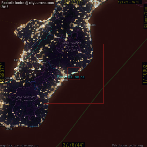
87.01%Clear (daylight) street map image can be seen on geolist.org.
Map coordinates:
38° 52' 14.5" North, 15° 41' 37.6" East
38° 19' 16.2" North, 16° 23' 48.8" East
37° 46' 2.8" North, 17° 6' 0.1" East
Some cities around Roccella Ionica sort by population:
• Siderno
10.5 km =6.5 mi,  237°
237°
• Locri
15.1 km =9.4 mi,  232°
232°
• Cittanova
28 km =17.4 mi,  277°
277°
• Bovalino Superiore
26.8 km =16.7 mi, 230°
• Bovalino
27 km =16.8 mi, 226°
• Serra San Bruno
28.9 km =18 mi,  347°
347°
• Gioiosa Ionica
8.1 km =5 mi,  274°
274°
• Marina di Gioiosa Ionica
6.1 km =3.8 mi,  249°
249°
2523595 (p: 6,004)
Sources (retrieved 2019-11-25):
» Earth at Night: Flat Maps 2012, 2016