Cittanova night lights from space
Night Light of Cittanova (Calabria) from space (Italy) Src. Average luminocity for 10x10km area is 13.5663% and for 50x50km: 13.1647%.
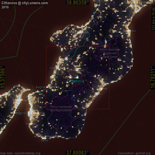
Analysis of Cittanova night lights 2016
Square area 10x10 km:
 1.02%
1.02%90-99
1.19%80-89
0.34%70-79
2.04%60-69
1.87%50-59
1.36%40-49
1.7%30-39
2.04%20-29
1.36%10-19
27.89%0-9
59.18%Square area 50x50 km:
0.82%90-99
1.34%80-89
2.05%70-79
1.59%60-69
1.73%50-59
1.94%40-49
1.46%30-39
2.43%20-29
2.63%10-19
15.7%0-9
68.32%Clear (daylight) street map image can be seen on geolist.org.
Map coordinates:
38° 54' 12.9" North, 15° 22' 33.1" East
38° 21' 15.5" North, 16° 4' 44.3" East
37° 48' 3" North, 16° 46' 55.6" East
Some cities around Cittanova sort by population:
• Gioia Tauro
17.7 km =11 mi,  296°
296°
• Palmi
19.8 km =12.3 mi,  271°
271°
• Rosarno
17.1 km =10.6 mi,  329°
329°
• Taurianova
5.7 km =3.5 mi, 271°
• Locri
20.3 km =12.6 mi,  129°
129°
• Polistena
5.7 km =3.5 mi,  355°
355°
• Cinque Frondi
6.9 km =4.3 mi,  3°
3°
• Gioiosa Ionica
19.9 km =12.4 mi,  98°
98°
2524976 (p: 9,368)
Sources (retrieved 2019-11-25):
» Earth at Night: Flat Maps 2012, 2016