Ravanusa night lights from space
Night Light of Ravanusa (Sicily) from space (Italy) Src. Average luminocity for 10x10km area is 15.7687% and for 50x50km: 10.6487%.
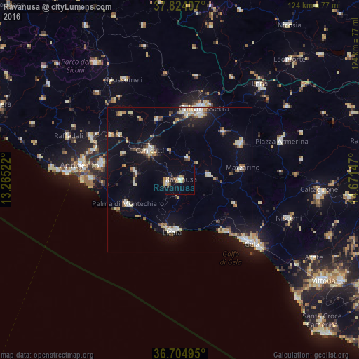
Analysis of Ravanusa night lights 2016
Square area 10x10 km:
 2.55%
2.55%90-99
0.85%80-89
3.23%70-79
0.68%60-69
1.19%50-59
3.74%40-49
0.85%30-39
3.23%20-29
1.19%10-19
6.97%0-9
75.51%Square area 50x50 km:
1.37%90-99
1.27%80-89
1.92%70-79
0.86%60-69
1.09%50-59
1.05%40-49
0.64%30-39
1.97%20-29
1.49%10-19
7.19%0-9
81.16%Clear (daylight) street map image can be seen on geolist.org.
Map coordinates:
37° 49' 26.7" North, 13° 15' 54.8" East
37° 15' 59.7" North, 13° 58' 6" East
36° 42' 17.8" North, 14° 40' 17.3" East
Some cities around Ravanusa sort by population:
• Licata
18.4 km =11.4 mi,  187°
187°
• Canicattì
14.8 km =9.2 mi,  313°
313°
• Palma di Montechiaro
19.8 km =12.3 mi,  244°
244°
• Mazzarino
21.7 km =13.5 mi,  79°
79°
• Riesi
10.3 km =6.4 mi, 81°
• Campobello di Licata
4.6 km =2.9 mi,  257°
257°
• Naro
15.7 km =9.8 mi,  280°
280°
• Sommatino
8 km =5 mi,  18°
18°
2523638 (p: 12,051)
Sources (retrieved 2019-11-25):
» Earth at Night: Flat Maps 2012, 2016