Canicattì night lights from space
Night Light of Canicattì (Sicily) from space (Italy) Src. Average luminocity for 10x10km area is 25.2159% and for 50x50km: 12.6629%.
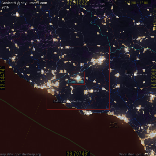
Analysis of Canicattì night lights 2016
Square area 10x10 km:
 2.6%
2.6%90-99
2.11%80-89
5.68%70-79
1.14%60-69
1.46%50-59
3.57%40-49
1.95%30-39
9.58%20-29
5.84%10-19
35.55%0-9
30.52%Square area 50x50 km:
1.4%90-99
1.46%80-89
1.97%70-79
1.31%60-69
1.47%50-59
1.44%40-49
1.04%30-39
2.7%20-29
2.68%10-19
8.95%0-9
75.59%Clear (daylight) street map image can be seen on geolist.org.
Map coordinates:
37° 54' 54.8" North, 13° 8' 41.1" East
37° 21' 30.3" North, 13° 50' 52.3" East
36° 47' 50.9" North, 14° 33' 3.6" East
Some cities around Canicattì sort by population:
• Favara
17 km =10.6 mi,  254°
254°
• Ravanusa
14.8 km =9.2 mi,  133°
133°
• Campobello di Licata
12.8 km =8 mi,  151°
151°
• Naro
8.8 km =5.5 mi,  213°
213°
• Racalmuto
11.6 km =7.2 mi,  296°
296°
• Sommatino
13.5 km =8.4 mi,  101°
101°
• Serradifalco
11 km =6.8 mi,  15°
15°
• Grotte
14.1 km =8.8 mi,  290°
290°
2525405 (p: 32,918)
Sources (retrieved 2019-11-25):
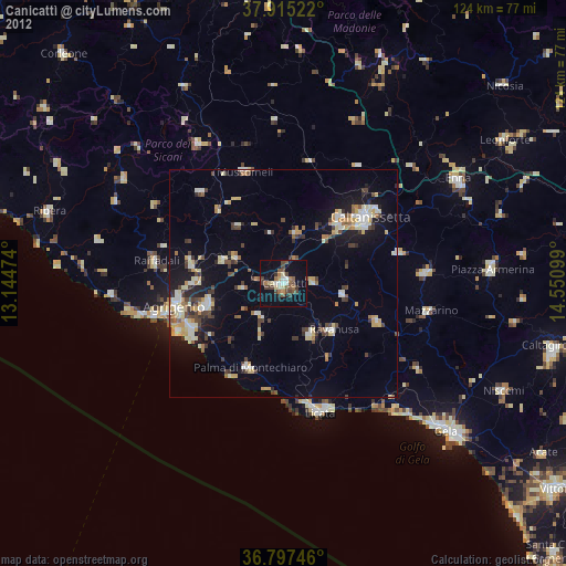
» Earth at Night: Flat Maps 2012, 2016