Olbia night lights from space
Night Light of Olbia (Sardinia) from space (Italy) Src. Average luminocity for 10x10km area is 43.0068% and for 50x50km: 6.7684%.
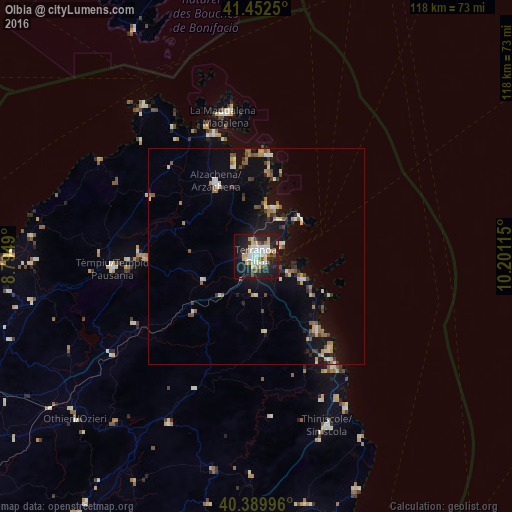
Analysis of Olbia night lights 2016
Square area 10x10 km:
 8.84%
8.84%90-99
10.2%80-89
5.1%70-79
5.1%60-69
4.42%50-59
3.57%40-49
2.04%30-39
5.27%20-29
13.44%10-19
33.84%0-9
8.16%Square area 50x50 km:
0.62%90-99
1.03%80-89
0.77%70-79
0.84%60-69
0.93%50-59
0.93%40-49
0.69%30-39
0.75%20-29
1.27%10-19
5.76%0-9
86.4%Clear (daylight) street map image can be seen on geolist.org.
Map coordinates:
41° 27' 9" North, 8° 47' 41.6" East
40° 55' 24.1" North, 9° 29' 52.9" East
40° 23' 23.9" North, 10° 12' 4.1" East
Some cities around Olbia sort by population:
• Nuoro
68.7 km =42.7 mi,  192°
192°
• Tempio Pausania
33.2 km =20.6 mi,  265°
265°
• La Maddalena
33.2 km =20.6 mi,  346°
346°
• Siniscola
42.4 km =26.3 mi,  156°
156°
• Ozieri
56 km =34.8 mi,  228°
228°
• Dorgali
70.6 km =43.9 mi,  173°
173°
• Arzachena
19.2 km =11.9 mi,  332°
332°
• Orosei
62.8 km =39 mi, 164°
3172087 (p: 42,930)
Sources (retrieved 2019-11-25):
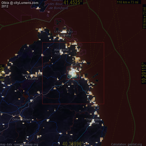
» Earth at Night: Flat Maps 2012, 2016