Tempio Pausania night lights from space
Night Light of Tempio Pausania (Sardinia) from space (Italy) Src. Average luminocity for 10x10km area is 12.9949% and for 50x50km: 2.806%.
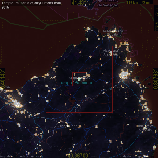
Analysis of Tempio Pausania night lights 2016
Square area 10x10 km:
 1.53%
1.53%90-99
2.21%80-89
2.38%70-79
1.53%60-69
1.7%50-59
0.17%40-49
0.17%30-39
3.91%20-29
0.68%10-19
1.02%0-9
84.69%Square area 50x50 km:
0.2%90-99
0.48%80-89
0.54%70-79
0.37%60-69
0.29%50-59
0.51%40-49
0.3%30-39
0.29%20-29
0.34%10-19
0.23%0-9
96.45%Clear (daylight) street map image can be seen on geolist.org.
Map coordinates:
41° 25' 48" North, 8° 24' 5.1" East
40° 54' 2.4" North, 9° 6' 16.4" East
40° 22' 1.5" North, 9° 48' 27.6" East
Some cities around Tempio Pausania sort by population:
• Sassari
50.1 km =31.1 mi,  247°
247°
• Olbia
33.2 km =20.6 mi,  85°
85°
• Sorso
45.9 km =28.5 mi,  255°
255°
• La Maddalena
43.2 km =26.8 mi,  36°
36°
• Ozieri
36 km =22.4 mi,  193°
193°
• Sennori
44.8 km =27.8 mi, 253°
• Arzachena
30.9 km =19.2 mi,  50°
50°
• Ossi
49.9 km =31 mi,  239°
239°
3165828 (p: 12,706)
Sources (retrieved 2019-11-25):
» Earth at Night: Flat Maps 2012, 2016