San Paolo night lights from space
Night Light of San Paolo (Apulia) from space (Italy) Src. Average luminocity for 10x10km area is 80.401% and for 50x50km: 21.656%.
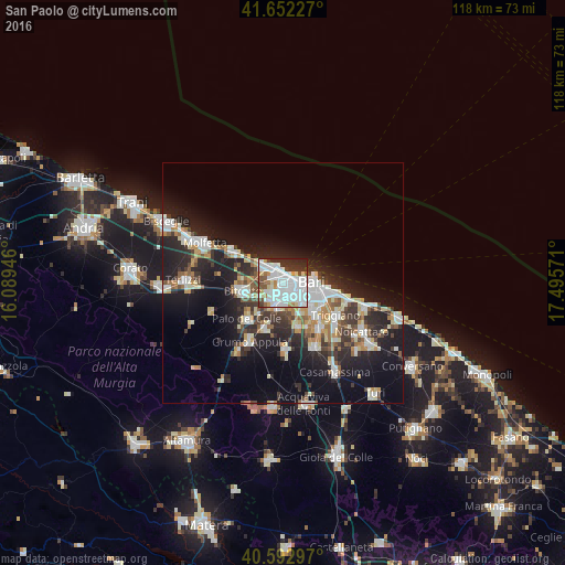
Analysis of San Paolo night lights 2016
Square area 10x10 km:
 39.61%
90-99
22.4%80-89
4.87%70-79
3.25%60-69
5.19%50-59
3.9%40-49
4.87%30-39
7.14%20-29
8.28%10-19
0.49%0-9
0%Square area 50x50 km:
4.63%90-99
4.12%80-89
2.46%70-79
1.95%60-69
2.12%50-59
2.17%40-49
2.06%30-39
3.58%20-29
7.45%10-19
14.48%0-9
54.99%Clear (daylight) street map image can be seen on geolist.org.
Map coordinates:
41° 39' 8.2" North, 16° 5' 22.1" East
41° 7' 29.1" North, 16° 47' 33.3" East
40° 35' 34.7" North, 17° 29' 44.6" East
Some cities around San Paolo sort by population:
• Bari
6.5 km =4 mi,  94°
94°
• Bitonto
8.7 km =5.4 mi,  259°
259°
• Modugno
4.6 km =2.9 mi,  189°
189°
• Palo del Colle
10.7 km =6.6 mi,  224°
224°
• Giovinazzo
12.2 km =7.6 mi,  303°
303°
• Valenzano
11.9 km =7.4 mi,  139°
139°
• Bitetto
10 km =6.2 mi,  201°
201°
• Bitritto
9.5 km =5.9 mi,  162°
162°
8948703 (p: 29,800)
Sources (retrieved 2019-11-25):
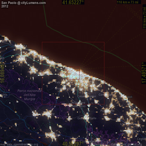
» Earth at Night: Flat Maps 2012, 2016