Lumezzane night lights from space
Night Light of Lumezzane (Lombardy) from space (Italy) Src. Average luminocity for 10x10km area is 26.697% and for 50x50km: 33.0025%.
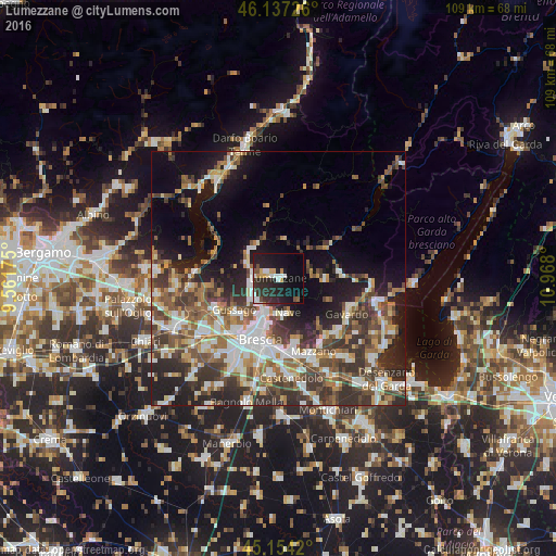
Analysis of Lumezzane night lights 2016
Square area 10x10 km:
 4.39%
4.39%90-99
3.79%80-89
1.52%70-79
3.18%60-69
1.06%50-59
1.97%40-49
2.12%30-39
4.7%20-29
18.94%10-19
28.79%0-9
29.55%Square area 50x50 km:
5.63%90-99
6.32%80-89
2.53%70-79
3.49%60-69
4.78%50-59
6.07%40-49
6.02%30-39
7.18%20-29
9.28%10-19
12.42%0-9
36.29%Clear (daylight) street map image can be seen on geolist.org.
Map coordinates:
46° 8' 14.1" North, 9° 33' 42.3" East
45° 38' 52.4" North, 10° 15' 53.5" East
45° 9' 15.1" North, 10° 58' 4.8" East
Some cities around Lumezzane sort by population:
• San Sebastiano
0.8 km =0.5 mi,  305°
305°
• Piazza
10.9 km =6.8 mi,  231°
231°
• Sarezzo
5.5 km =3.4 mi,  285°
285°
• Concesio
6 km =3.7 mi,  218°
218°
• Nave
7.1 km =4.4 mi,  170°
170°
• Villa Carcina
5.6 km =3.5 mi,  253°
253°
• Gardone Val Trompia
7.8 km =4.8 mi, 308°
• Bovezzo
6.7 km =4.2 mi,  195°
195°
6534216 (p: 23,712)
Sources (retrieved 2019-11-25):
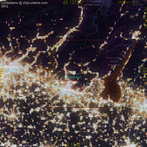
» Earth at Night: Flat Maps 2012, 2016