Lodi night lights from space
Night Light of Lodi (Lombardy) from space (Italy) Src. Average luminocity for 10x10km area is 50.1778% and for 50x50km: 42.4669%.
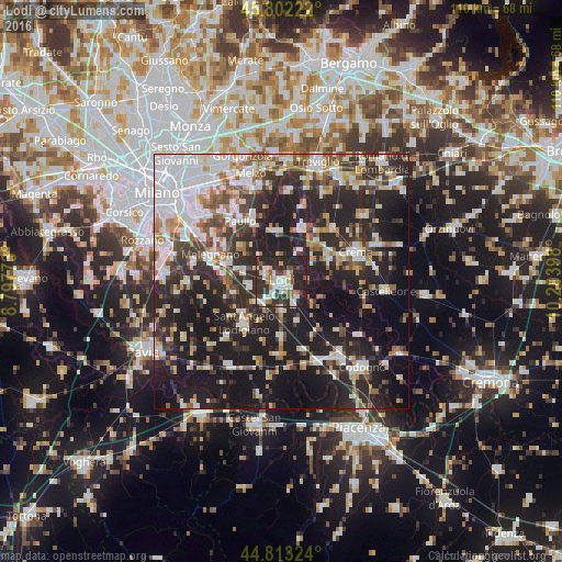
Analysis of Lodi night lights 2016
Square area 10x10 km:
 12.38%
90-99
9.84%80-89
3.02%70-79
3.17%60-69
7.14%50-59
4.6%40-49
5.4%30-39
10.48%20-29
36.98%10-19
6.98%0-9
0%Square area 50x50 km:
9.87%90-99
7.96%80-89
3.89%70-79
3.81%60-69
4.62%50-59
4.96%40-49
4.73%30-39
6.61%20-29
17.93%10-19
26.62%0-9
8.99%Clear (daylight) street map image can be seen on geolist.org.
Map coordinates:
45° 48' 8" North, 8° 47' 51.8" East
45° 18' 35.6" North, 9° 30' 3.1" East
44° 48' 47.7" North, 10° 12' 14.3" East
Some cities around Lodi sort by population:
• Sant'Angelo Lodigiano
11.1 km =6.9 mi,  221°
221°
• Paullo
14.4 km =8.9 mi,  326°
326°
• Pandino
11.4 km =7.1 mi,  20°
20°
• Lodi Vecchio
6.5 km =4 mi,  264°
264°
• San Colombano al Lambro
14.1 km =8.8 mi,  183°
183°
• Spino d'Adda
10.2 km =6.3 mi,  353°
353°
• Zelo Buon Persico
12.5 km =7.8 mi, 334°
• Tavazzano
7.8 km =4.8 mi,  284°
284°
3174638 (p: 40,767)
Sources (retrieved 2019-11-25):
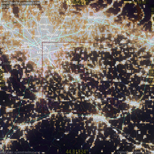
» Earth at Night: Flat Maps 2012, 2016