Gioia Tauro night lights from space
Night Light of Gioia Tauro (Calabria) from space (Italy) Src. Average luminocity for 10x10km area is 38.3718% and for 50x50km: 12.4984%.
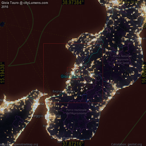
Analysis of Gioia Tauro night lights 2016
Square area 10x10 km:
 3.73%
3.73%90-99
6.66%80-89
6.66%70-79
2.6%60-69
5.36%50-59
6.33%40-49
3.57%30-39
7.14%20-29
19.81%10-19
30.19%0-9
7.95%Square area 50x50 km:
0.81%90-99
1.3%80-89
1.98%70-79
1.54%60-69
1.42%50-59
1.7%40-49
1.12%30-39
2.19%20-29
3.44%10-19
15.07%0-9
69.42%Clear (daylight) street map image can be seen on geolist.org.
Map coordinates:
38° 58' 25.8" North, 15° 11' 39.8" East
38° 25' 30.4" North, 15° 53' 51" East
37° 52' 19.8" North, 16° 36' 2.3" East
Some cities around Gioia Tauro sort by population:
• Palmi
8.3 km =5.2 mi,  208°
208°
• Rosarno
9.9 km =6.2 mi,  45°
45°
• Taurianova
12.7 km =7.9 mi,  127°
127°
• Polistena
15.5 km =9.6 mi,  98°
98°
• Cittanova
17.7 km =11 mi,  116°
116°
• Bagnara Calabra
17.2 km =10.7 mi, 207°
• Tropea
27.7 km =17.2 mi,  359°
359°
• Cinque Frondi
16.3 km =10.1 mi,  93°
93°
2524606 (p: 18,769)
Sources (retrieved 2019-11-25):
» Earth at Night: Flat Maps 2012, 2016