Genoa night lights from space
Night Light of Genoa (Liguria) from space (Italy) Src. Average luminocity for 10x10km area is 62.5048% and for 50x50km: 11.6934%.
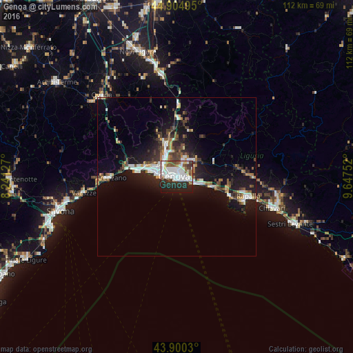

Analysis of Genoa night lights 2016
Square area 10x10 km:
 24.44%
90-99
17.46%80-89
3.33%70-79
2.22%60-69
3.02%50-59
7.94%40-49
4.13%30-39
5.87%20-29
18.73%10-19
12.86%0-9
0%Square area 50x50 km:
2.21%90-99
2.22%80-89
0.75%70-79
0.87%60-69
1.17%50-59
1.43%40-49
1.54%30-39
2.04%20-29
3.36%10-19
9.77%0-9
74.62%Clear (daylight) street map image can be seen on geolist.org.
Map coordinates:
44° 54' 17.8" North, 8° 14' 28.6" East
44° 24' 17.2" North, 8° 56' 39.8" East
43° 54' 1.1" North, 9° 38' 51.1" East
Some cities around Genoa sort by population:
• Rapallo
23.4 km =14.5 mi,  105°
105°
• Arenzano
20.8 km =12.9 mi,  270°
270°
• Recco
16.5 km =10.3 mi, 106°
• Santa Margherita Ligure
22.7 km =14.1 mi, 110°
• Serra Riccò
11.8 km =7.3 mi,  357°
357°
• Cogoleto
23.7 km =14.7 mi, 266°
• Pedemonte
11 km =6.8 mi,  352°
352°
• Busalla
18.4 km =11.4 mi,  0°
0°
3176219 (p: 580,223)
Sources (retrieved 2019-11-25):
» NASA, Earths city lights 1995
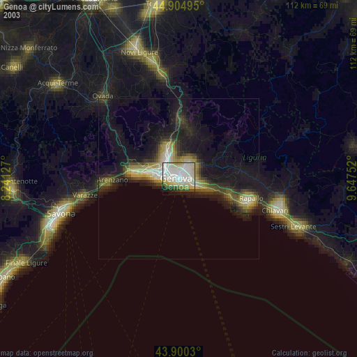
» NASA city lights 2003
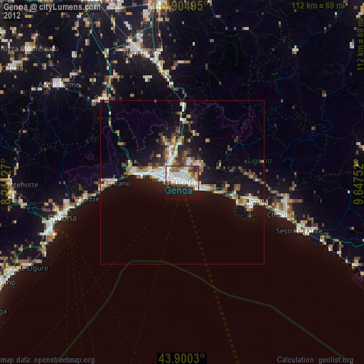
» Earth at Night: Flat Maps 2012, 2016