Ercolano night lights from space
Night Light of Ercolano (Campania) from space (Italy) Src. Average luminocity for 10x10km area is 64.2483% and for 50x50km: 49.3703%.
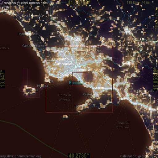
Analysis of Ercolano night lights 2016
Square area 10x10 km:
 23.81%
90-99
18.71%80-89
2.72%70-79
4.08%60-69
4.25%50-59
6.63%40-49
5.61%30-39
9.18%20-29
13.78%10-19
8.5%0-9
2.72%Square area 50x50 km:
13.06%90-99
12.46%80-89
5.26%70-79
7.15%60-69
7.61%50-59
5.11%40-49
3.27%30-39
5.32%20-29
8.06%10-19
8.08%0-9
24.61%Clear (daylight) street map image can be seen on geolist.org.
Map coordinates:
41° 20' 16.4" North, 13° 38' 49.2" East
40° 48' 28.2" North, 14° 21' 0.4" East
40° 16' 24.6" North, 15° 3' 11.7" East
Some cities around Ercolano sort by population:
• Torre del Greco
2.6 km =1.6 mi,  143°
143°
• Portici
1.4 km =0.9 mi,  308°
308°
• San Giorgio a Cremano
2.8 km =1.7 mi,  345°
345°
• Barra
4.7 km =2.9 mi,  325°
325°
• San Giovanni a Teduccio
5 km =3.1 mi, 312°
• Pollena Trocchia
5.4 km =3.4 mi,  26°
26°
• San Sebastiano al Vesuvio
4.1 km =2.5 mi,  16°
16°
• Massa di Somma
4.7 km =2.9 mi, 26°
3177363 (p: 53,576)
Sources (retrieved 2019-11-25):
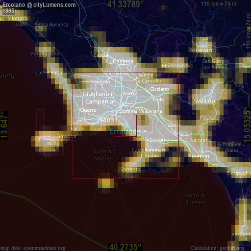
» NASA, Earths city lights 1995
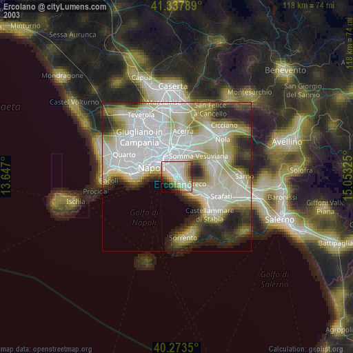
» NASA city lights 2003
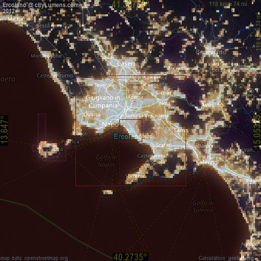
» Earth at Night: Flat Maps 2012, 2016